Britz night lights from space
Night Light of Britz (Berlin) from space (Germany) Src. Average luminocity for 10x10km area is 88.5278% and for 50x50km: 36.9699%.
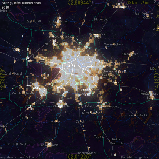
Analysis of Britz night lights 2016
Square area 10x10 km:
 30.43%
90-99
33.84%80-89
13.76%70-79
7.95%60-69
6.19%50-59
2.78%40-49
4.55%30-39
0.51%20-29
0%10-19
0%0-9
0%Square area 50x50 km:
10.71%90-99
9.21%80-89
3.56%70-79
3.04%60-69
3.11%50-59
3.33%40-49
4.01%30-39
4.36%20-29
8.34%10-19
15.1%0-9
35.25%Clear (daylight) street map image can be seen on geolist.org.
Map coordinates:
52° 52' 10" North, 12° 43' 50.7" East
52° 26' 34.5" North, 13° 26' 2" East
52° 0' 44.1" North, 14° 8' 13.2" East
Some cities around Britz sort by population:
• Neukölln
3.8 km =2.4 mi,  357°
357°
• Tempelhof
3.5 km =2.2 mi,  318°
318°
• Mariendorf
3.6 km =2.2 mi,  260°
260°
• Rudow
4.1 km =2.5 mi,  121°
121°
• Buckow
2.2 km =1.4 mi, 124°
• Gropiusstadt
3 km =1.9 mi,  131°
131°
• Johannisthal
4.9 km =3 mi,  85°
85°
• Baumschulenweg
4.3 km =2.7 mi,  53°
53°
2944027 (p: 39,488)
Sources (retrieved 2019-11-25):
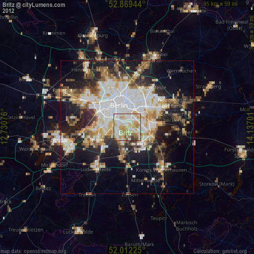
» Earth at Night: Flat Maps 2012, 2016