Schöneberg night lights from space
Night Light of Schöneberg (Berlin) from space (Germany) Src. Average luminocity for 10x10km area is 96.0808% and for 50x50km: 38.5197%.
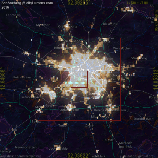
Analysis of Schöneberg night lights 2016
Square area 10x10 km:
 49.49%
90-99
36.24%80-89
9.47%70-79
2.9%60-69
1.89%50-59
0%40-49
0%30-39
0%20-29
0%10-19
0%0-9
0%Square area 50x50 km:
11.01%90-99
9.56%80-89
3.73%70-79
3.05%60-69
3.33%50-59
3.55%40-49
4.08%30-39
4.37%20-29
8.79%10-19
16.33%0-9
32.21%Clear (daylight) street map image can be seen on geolist.org.
Map coordinates:
52° 53' 34.6" North, 12° 38' 48.8" East
52° 28' 0" North, 13° 21' 0" East
52° 2' 10.4" North, 14° 3' 11.3" East
Some cities around Schöneberg sort by population:
• Wilmersdorf
2.9 km =1.8 mi,  309°
309°
• Steglitz
1.7 km =1.1 mi,  225°
225°
• Tempelhof
3.4 km =2.1 mi,  90°
90°
• Mariendorf
3.8 km =2.4 mi,  146°
146°
• Lankwitz
3.4 km =2.1 mi,  184°
184°
• Friedenau
1.6 km =1 mi,  289°
289°
• Schmargendorf
4.1 km =2.5 mi,  283°
283°
• Dahlem
4.4 km =2.7 mi,  257°
257°
2836788 (p: 115,976)
Sources (retrieved 2019-11-25):
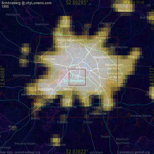
» NASA, Earths city lights 1995
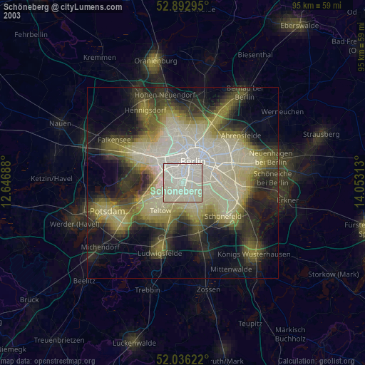
» NASA city lights 2003
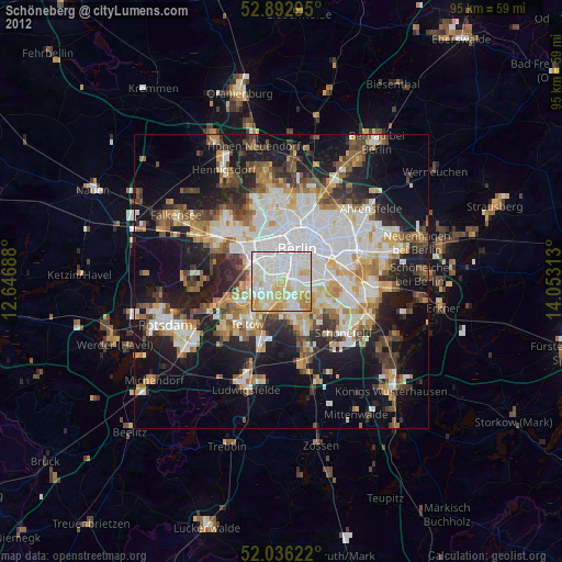
» Earth at Night: Flat Maps 2012, 2016