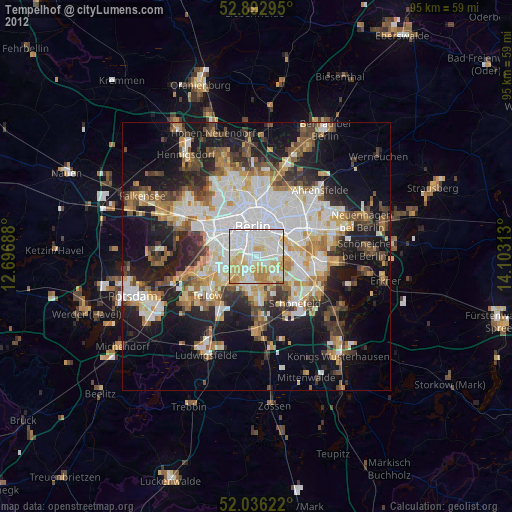
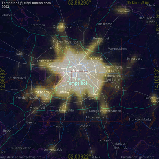
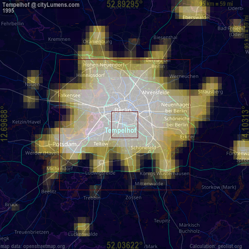
Tempelhof night lights from space
Night Light of Tempelhof (Berlin) from space (Germany) Src. Average luminocity for 10x10km area is 95.2778% and for 50x50km: 38.093%.

Analysis of Tempelhof night lights 2016
Square area 10x10 km:
 46.34%
90-99
36.36%80-89
11.24%70-79
3.16%60-69
2.53%50-59
0.38%40-49
0%30-39
0%20-29
0%10-19
0%0-9
0%Square area 50x50 km:
10.9%90-99
9.43%80-89
3.69%70-79
3.1%60-69
3.27%50-59
3.49%40-49
4.12%30-39
4.39%20-29
8.66%10-19
16.19%0-9
32.76%Clear (daylight) street map image can be seen on geolist.org.
Map coordinates:
52° 53' 34.6" North, 12° 41' 48.8" East
52° 28' 0" North, 13° 24' 0" East
52° 2' 10.4" North, 14° 6' 11.3" East
Some cities around Tempelhof sort by population:
• Neukölln
2.4 km =1.5 mi,  61°
61°
• Kreuzberg
3.7 km =2.3 mi,  3°
3°
• Schöneberg
3.4 km =2.1 mi,  270°
270°
• Steglitz
4.8 km =3 mi,  255°
255°
• Berlin Treptow
4.3 km =2.7 mi,  45°
45°
• Mariendorf
3.5 km =2.2 mi,  201°
201°
• Britz
3.5 km =2.2 mi,  138°
138°
• Alt-Treptow
4.7 km =2.9 mi, 58°
2823538 (p: 56,669)
Sources (retrieved 2019-11-25):
» NASA, Earths city lights 1995
» NASA city lights 2003
» Earth at Night: Flat Maps 2012, 2016