Kevelaer night lights from space
Night Light of Kevelaer (North Rhine-Westphalia) from space (Germany) Src. Average luminocity for 10x10km area is 7.0201% and for 50x50km: 10.1571%.
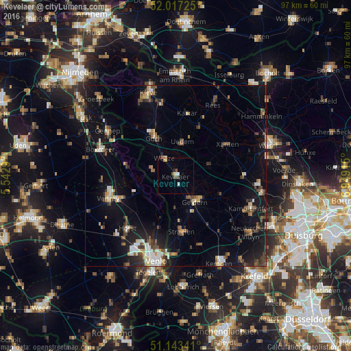
Analysis of Kevelaer night lights 2016
Square area 10x10 km:
 0.94%
0.94%90-99
0.67%80-89
1.07%70-79
1.07%60-69
0%50-59
1.6%40-49
0.94%30-39
0.67%20-29
0.53%10-19
0.53%0-9
91.98%Square area 50x50 km:
1.1%90-99
1.35%80-89
0.96%70-79
0.91%60-69
0.97%50-59
1.77%40-49
1.72%30-39
1.28%20-29
2.25%10-19
9.33%0-9
78.37%Clear (daylight) street map image can be seen on geolist.org.
Map coordinates:
52° 1' 2.1" North, 5° 32' 34.4" East
51° 34' 56.7" North, 6° 14' 45.7" East
51° 8' 36.3" North, 6° 56' 56.9" East
Some cities around Kevelaer sort by population:
• Geldern
8.9 km =5.5 mi,  142°
142°
• Goch
12.3 km =7.6 mi,  330°
330°
• Straelen
15.7 km =9.8 mi,  174°
174°
• Issum
14.1 km =8.8 mi,  112°
112°
• Weeze
5.9 km =3.7 mi, 326°
• Arcen, NL
12.6 km =7.8 mi,  201°
201°
• Uedem
9.4 km =5.8 mi,  11°
11°
• Sonsbeck
9.6 km =6 mi,  73°
73°
2891258 (p: 28,064)
Sources (retrieved 2019-11-25):
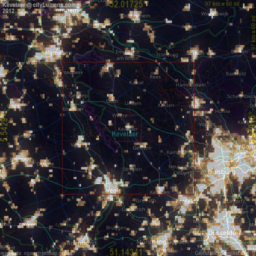
» Earth at Night: Flat Maps 2012, 2016