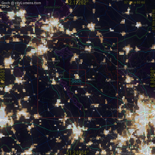
Goch night lights from space
Night Light of Goch (North Rhine-Westphalia) from space (Germany) Src. Average luminocity for 10x10km area is 8.2269% and for 50x50km: 9.9138%.
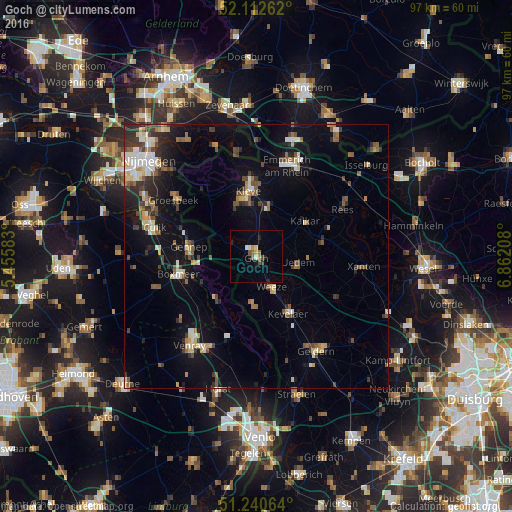
Analysis of Goch night lights 2016
Square area 10x10 km:
 0.7%
0.7%90-99
0.98%80-89
0.56%70-79
0.84%60-69
1.82%50-59
0.84%40-49
1.54%30-39
0.56%20-29
0.84%10-19
2.24%0-9
89.08%Square area 50x50 km:
1.08%90-99
1.42%80-89
1.1%70-79
0.83%60-69
1.23%50-59
1.63%40-49
1.45%30-39
1.5%20-29
2.29%10-19
6.65%0-9
80.83%Clear (daylight) street map image can be seen on geolist.org.
Map coordinates:
52° 6' 45.4" North, 5° 27' 21" East
51° 40' 43.4" North, 6° 9' 32.2" East
51° 14' 26.3" North, 6° 51' 43.5" East
Some cities around Goch sort by population:
• Kleve
12.3 km =7.6 mi,  353°
353°
• Kevelaer
12.3 km =7.6 mi,  150°
150°
• Gennep, NL
13 km =8.1 mi,  279°
279°
• Kalkar
11.3 km =7 mi,  53°
53°
• Boxmeer, NL
15 km =9.3 mi,  256°
256°
• Weeze
6.4 km =4 mi,  155°
155°
• Kranenburg
15.2 km =9.4 mi,  319°
319°
• Uedem
8.1 km =5 mi,  100°
100°
2919625 (p: 33,706)
Sources (retrieved 2019-11-25):
» Earth at Night: Flat Maps 2012, 2016