Siegen night lights from space
Night Light of Siegen (North Rhine-Westphalia) from space (Germany) Src. Average luminocity for 10x10km area is 19.7017% and for 50x50km: 2.4804%.
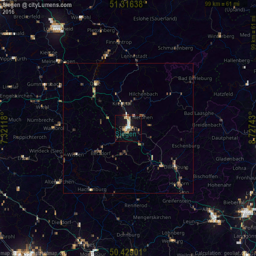
Analysis of Siegen night lights 2016
Square area 10x10 km:
 2.24%
2.24%90-99
2.24%80-89
2.94%70-79
2.52%60-69
2.24%50-59
2.24%40-49
3.22%30-39
1.68%20-29
2.94%10-19
21.43%0-9
56.3%Square area 50x50 km:
0.12%90-99
0.25%80-89
0.23%70-79
0.3%60-69
0.33%50-59
0.41%40-49
0.65%30-39
0.64%20-29
0.51%10-19
1.27%0-9
95.29%Clear (daylight) street map image can be seen on geolist.org.
Map coordinates:
51° 18' 59" North, 7° 19' 16.2" East
50° 52' 29.3" North, 8° 1' 27.5" East
50° 25' 44.4" North, 8° 43' 38.7" East
Some cities around Siegen sort by population:
• Kreuztal
10.6 km =6.6 mi,  346°
346°
• Netphen
7.1 km =4.4 mi,  48°
48°
• Wilnsdorf
8.4 km =5.2 mi,  140°
140°
• Freudenberg
10.8 km =6.7 mi,  283°
283°
• Neunkirchen
8.5 km =5.3 mi,  191°
191°
• Herdorf
11.9 km =7.4 mi,  204°
204°
• Mudersbach
7.9 km =4.9 mi,  225°
225°
• Niederfischbach
11.4 km =7.1 mi,  255°
255°
2832495 (p: 107,242)
Sources (retrieved 2019-11-25):
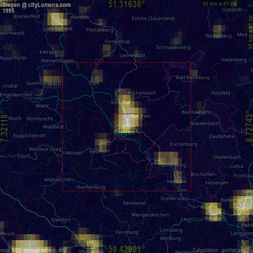
» NASA, Earths city lights 1995
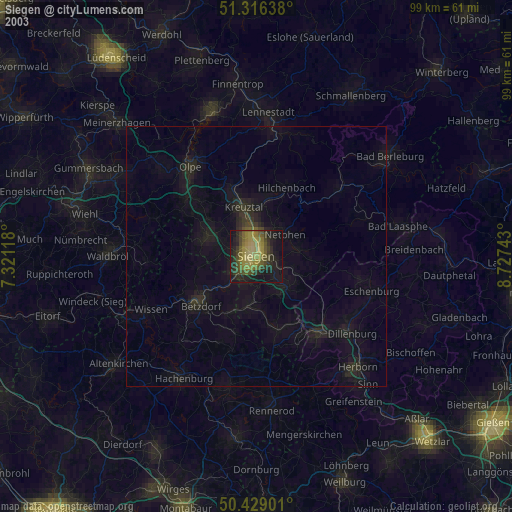
» NASA city lights 2003
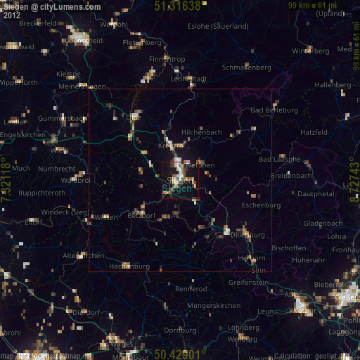
» Earth at Night: Flat Maps 2012, 2016