Kleve night lights from space
Night Light of Kleve (North Rhine-Westphalia) from space (Germany) Src. Average luminocity for 10x10km area is 18.472% and for 50x50km: 14.7915%.
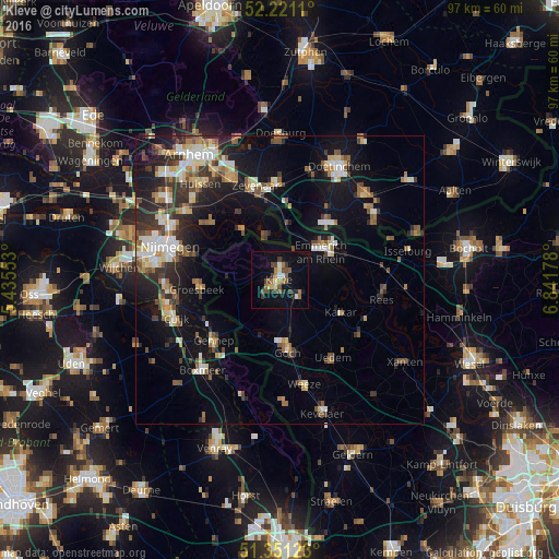
Analysis of Kleve night lights 2016
Square area 10x10 km:
 0.56%
0.56%90-99
2.24%80-89
1.68%70-79
1.54%60-69
3.5%50-59
4.06%40-49
4.9%30-39
3.08%20-29
2.52%10-19
12.18%0-9
63.73%Square area 50x50 km:
1.76%90-99
2.28%80-89
1.68%70-79
1.41%60-69
1.98%50-59
2.39%40-49
2.15%30-39
2.29%20-29
4.2%10-19
11.08%0-9
68.79%Clear (daylight) street map image can be seen on geolist.org.
Map coordinates:
52° 13' 16" North, 5° 26' 7.9" East
51° 47' 17.7" North, 6° 8' 19.1" East
51° 21' 4.4" North, 6° 50' 30.4" East
Some cities around Kleve sort by population:
• Goch
12.3 km =7.6 mi,  173°
173°
• Emmerich
9.4 km =5.8 mi,  52°
52°
• Zevenaar, NL
16.4 km =10.2 mi,  343°
343°
• Groesbeek, NL
14 km =8.7 mi,  264°
264°
• Gennep, NL
15.1 km =9.4 mi,  228°
228°
• Kalkar
11.8 km =7.3 mi,  117°
117°
• Kranenburg
8.4 km =5.2 mi,  266°
266°
• Gendt, NL
15.2 km =9.4 mi,  310°
310°
2887835 (p: 49,072)
Sources (retrieved 2019-11-25):
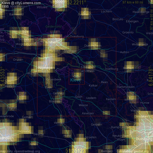
» NASA, Earths city lights 1995
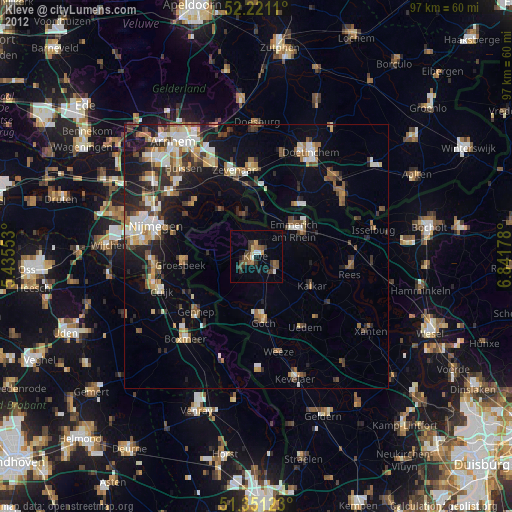
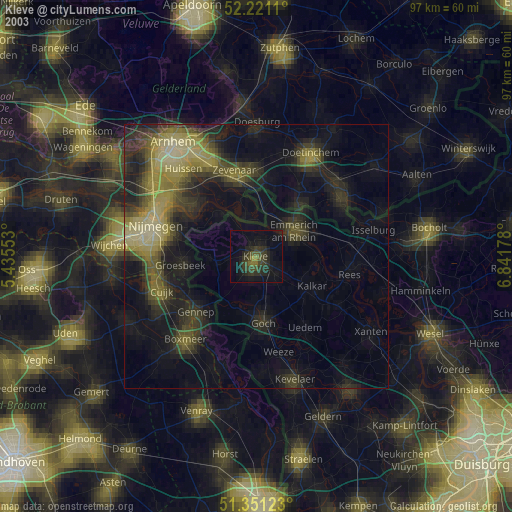
» NASA city lights 2003
» Earth at Night: Flat Maps 2012, 2016