Boxmeer night lights from space
Night Light of Boxmeer (North Brabant) from space (Netherlands) Src. Average luminocity for 10x10km area is 17.5336% and for 50x50km: 14.8983%.
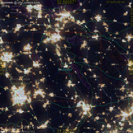
Analysis of Boxmeer night lights 2016
Square area 10x10 km:
 1.96%
1.96%90-99
1.96%80-89
2.52%70-79
1.4%60-69
0.56%50-59
4.06%40-49
2.66%30-39
1.68%20-29
2.38%10-19
18.91%0-9
61.9%Square area 50x50 km:
1.6%90-99
2.16%80-89
1.46%70-79
1.61%60-69
2.07%50-59
2.37%40-49
1.94%30-39
1.79%20-29
4.28%10-19
13.74%0-9
66.97%Clear (daylight) street map image can be seen on geolist.org.
Map coordinates:
52° 4' 51.1" North, 5° 14' 38.7" East
51° 38' 48" North, 5° 56' 50" East
51° 12' 29.8" North, 6° 39' 1.2" East
Some cities around Boxmeer sort by population:
• Venray
13.7 km =8.5 mi,  171°
171°
• Goch, DE
15 km =9.3 mi,  76°
76°
• Groesbeek
14.5 km =9 mi,  356°
356°
• Gennep
6 km =3.7 mi,  17°
17°
• Grave
19 km =11.8 mi,  311°
311°
• Weeze, DE
17.4 km =10.8 mi,  97°
97°
• Kranenburg, DE
15.9 km =9.9 mi, 17°
• Boekel
19.4 km =12.1 mi,  255°
255°
2758462 (p: 12,407)
Sources (retrieved 2019-11-25):
» Earth at Night: Flat Maps 2012, 2016