Glauchau night lights from space
Night Light of Glauchau (Saxony) from space (Germany) Src. Average luminocity for 10x10km area is 16.6331% and for 50x50km: 7.6985%.
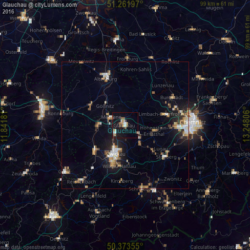
Analysis of Glauchau night lights 2016
Square area 10x10 km:
 1.54%
1.54%90-99
3.22%80-89
0.7%70-79
1.68%60-69
2.8%50-59
3.78%40-49
1.12%30-39
0.7%20-29
1.12%10-19
22.13%0-9
61.2%Square area 50x50 km:
0.88%90-99
1.21%80-89
0.77%70-79
0.99%60-69
1.03%50-59
1.26%40-49
0.66%30-39
0.86%20-29
1.41%10-19
5.63%0-9
85.31%Clear (daylight) street map image can be seen on geolist.org.
Map coordinates:
51° 15' 43.1" North, 11° 50' 30.5" East
50° 49' 11.5" North, 12° 32' 41.7" East
50° 22' 24.8" North, 13° 14' 53" East
Some cities around Glauchau sort by population:
• Zwickau
11 km =6.8 mi,  201°
201°
• Crimmitschau
10.9 km =6.8 mi,  267°
267°
• Meerane
6.4 km =4 mi,  298°
298°
• Hohenstein-Ernstthal
12 km =7.5 mi,  100°
100°
• Lichtenstein
9.2 km =5.7 mi,  139°
139°
• Mülsen
7.9 km =4.9 mi,  168°
168°
• Oberlungwitz
12.2 km =7.6 mi,  110°
110°
• Callenberg
7.1 km =4.4 mi,  61°
61°
2920020 (p: 26,473)
Sources (retrieved 2019-11-25):
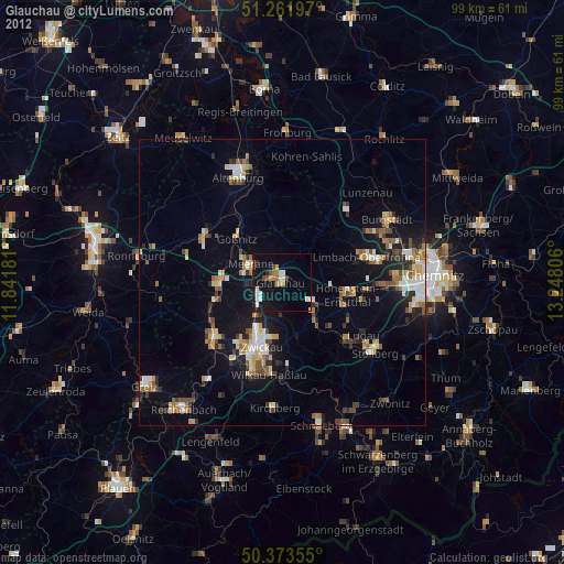
» Earth at Night: Flat Maps 2012, 2016