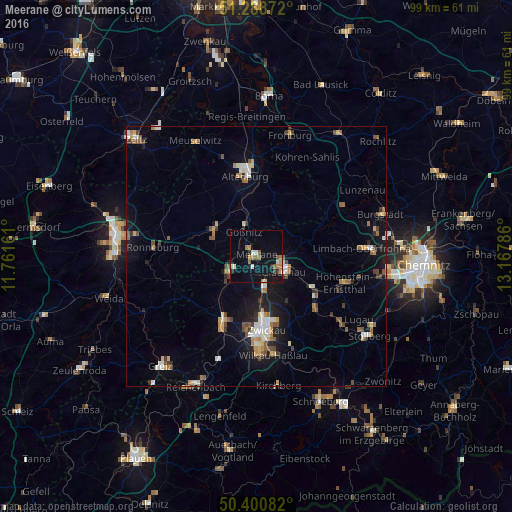
Meerane night lights from space
Night Light of Meerane (Saxony) from space (Germany) Src. Average luminocity for 10x10km area is 14.8936% and for 50x50km: 6.3928%.
Analysis of Meerane night lights 2016
Square area 10x10 km:
 1.82%
1.82%90-99
0.98%80-89
0.42%70-79
2.8%60-69
3.5%50-59
2.8%40-49
0.56%30-39
0.7%20-29
1.68%10-19
14.71%0-9
70.03%Square area 50x50 km:
0.7%90-99
0.94%80-89
0.5%70-79
0.82%60-69
0.85%50-59
1.14%40-49
0.67%30-39
0.73%20-29
0.79%10-19
4.8%0-9
88.07%Clear (daylight) street map image can be seen on geolist.org.
Map coordinates:
51° 17' 19.4" North, 11° 45' 41.8" East
50° 50' 48.8" North, 12° 27' 53" East
50° 24' 3" North, 13° 10' 4.3" East
Some cities around Meerane sort by population:
• Zwickau
13.4 km =8.3 mi,  172°
172°
• Glauchau
6.4 km =4 mi,  118°
118°
• Werdau
13.8 km =8.6 mi,  207°
207°
• Crimmitschau
6.2 km =3.9 mi,  237°
237°
• Lichtenstein
15.4 km =9.6 mi,  130°
130°
• Schmölln
9.6 km =6 mi,  305°
305°
• Mülsen
12.9 km =8 mi,  146°
146°
• Callenberg
11.8 km =7.3 mi,  88°
88°
2872519 (p: 17,325)
Sources (retrieved 2019-11-25):
» Earth at Night: Flat Maps 2012, 2016