Geisenfeld night lights from space
Night Light of Geisenfeld (Bavaria) from space (Germany) Src. Average luminocity for 10x10km area is 2.2188% and for 50x50km: 5.5019%.
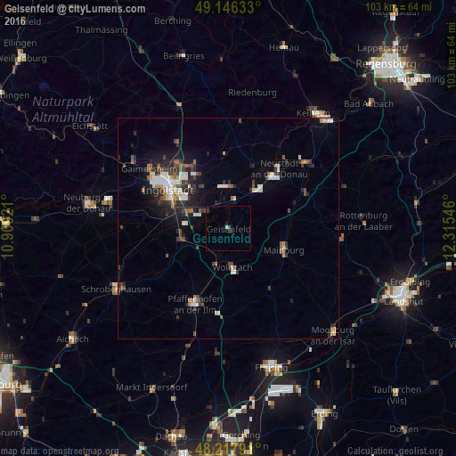
Analysis of Geisenfeld night lights 2016
Square area 10x10 km:
 0%
0%90-99
0.45%80-89
0.15%70-79
0%60-69
0%50-59
0%40-49
0.6%30-39
0.6%20-29
1.19%10-19
0.89%0-9
96.13%Square area 50x50 km:
0.87%90-99
0.95%80-89
0.35%70-79
0.34%60-69
0.55%50-59
0.71%40-49
0.95%30-39
0.93%20-29
1.81%10-19
2.92%0-9
89.62%Clear (daylight) street map image can be seen on geolist.org.
Map coordinates:
49° 8' 46.8" North, 10° 54' 33.2" East
48° 41' 3.3" North, 11° 36' 44.4" East
48° 13' 4.5" North, 12° 18' 55.7" East
Some cities around Geisenfeld sort by population:
• Ingolstadt
16.5 km =10.3 mi,  303°
303°
• Mainburg
13.3 km =8.3 mi,  110°
110°
• Manching
9.4 km =5.8 mi,  292°
292°
• Wolnzach
9 km =5.6 mi,  173°
173°
• Reichertshofen
11.1 km =6.9 mi,  254°
254°
• Vohburg an der Donau
9.5 km =5.9 mi,  2°
2°
• Rohrbach
8.2 km =5.1 mi,  204°
204°
• Au in der Hallertau
16.9 km =10.5 mi,  145°
145°
2921713 (p: 9,769)
Sources (retrieved 2019-11-25):
» Earth at Night: Flat Maps 2012, 2016