Wolnzach night lights from space
Night Light of Wolnzach (Bavaria) from space (Germany) Src. Average luminocity for 10x10km area is 4.2515% and for 50x50km: 5.8429%.
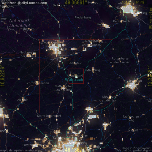
Analysis of Wolnzach night lights 2016
Square area 10x10 km:
 0.74%
0.74%90-99
0.45%80-89
0.6%70-79
0%60-69
0.45%50-59
0.74%40-49
1.49%30-39
0.6%20-29
0.89%10-19
0%0-9
94.05%Square area 50x50 km:
0.93%90-99
1.04%80-89
0.43%70-79
0.37%60-69
0.65%50-59
0.71%40-49
1.01%30-39
0.97%20-29
1.78%10-19
3.35%0-9
88.76%Clear (daylight) street map image can be seen on geolist.org.
Map coordinates:
49° 3' 59.8" North, 10° 55' 21.2" East
48° 36' 13.7" North, 11° 37' 32.4" East
48° 8' 12.2" North, 12° 19' 43.7" East
Some cities around Wolnzach sort by population:
• Pfaffenhofen an der Ilm
12.1 km =7.5 mi,  227°
227°
• Mainburg
12.2 km =7.6 mi,  69°
69°
• Manching
15.8 km =9.8 mi,  322°
322°
• Geisenfeld
9 km =5.6 mi,  353°
353°
• Reichertshofen
13.2 km =8.2 mi,  297°
297°
• Rohrbach
4.6 km =2.9 mi,  288°
288°
• Au in der Hallertau
9.9 km =6.2 mi,  120°
120°
• Nandlstadt
15.3 km =9.5 mi, 119°
2806339 (p: 10,973)
Sources (retrieved 2019-11-25):
» Earth at Night: Flat Maps 2012, 2016