Vohburg an der Donau night lights from space
Night Light of Vohburg an der Donau (Bavaria) from space (Germany) Src. Average luminocity for 10x10km area is 6.9432% and for 50x50km: 5.3893%.
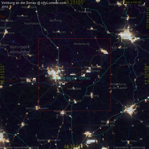
Analysis of Vohburg an der Donau night lights 2016
Square area 10x10 km:
 1.28%
1.28%90-99
1.56%80-89
0%70-79
0%60-69
0.99%50-59
0.71%40-49
0%30-39
0.14%20-29
2.27%10-19
2.7%0-9
90.34%Square area 50x50 km:
0.86%90-99
0.93%80-89
0.36%70-79
0.31%60-69
0.54%50-59
0.72%40-49
0.94%30-39
0.85%20-29
1.67%10-19
2.94%0-9
89.89%Clear (daylight) street map image can be seen on geolist.org.
Map coordinates:
49° 13' 51.8" North, 10° 54' 55.2" East
48° 46' 11.2" North, 11° 37' 6.4" East
48° 18' 15.2" North, 12° 19' 17.7" East
Some cities around Vohburg an der Donau sort by population:
• Ingolstadt
14.3 km =8.9 mi,  267°
267°
• Neustadt an der Donau
11.8 km =7.3 mi,  69°
69°
• Abensberg
17.7 km =11 mi, 72°
• Manching
10.9 km =6.8 mi,  237°
237°
• Wolnzach
18.5 km =11.5 mi,  178°
178°
• Geisenfeld
9.5 km =5.9 mi, 182°
• Reichertshofen
16.7 km =10.4 mi,  221°
221°
• Rohrbach
17.4 km =10.8 mi,  192°
192°
2816776 (p: 7,101)
Sources (retrieved 2019-11-25):
» Earth at Night: Flat Maps 2012, 2016