Eschweiler night lights from space
Night Light of Eschweiler (North Rhine-Westphalia) from space (Germany) Src. Average luminocity for 10x10km area is 31.4202% and for 50x50km: 17.4585%.
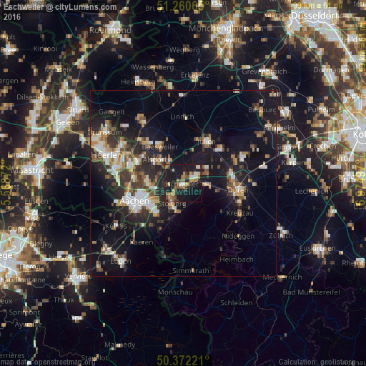
Analysis of Eschweiler night lights 2016
Square area 10x10 km:
 2.1%
2.1%90-99
2.94%80-89
3.92%70-79
3.92%60-69
6.02%50-59
7.42%40-49
4.34%30-39
2.94%20-29
4.2%10-19
53.36%0-9
8.82%Square area 50x50 km:
1.99%90-99
2.99%80-89
1.55%70-79
1.81%60-69
2.18%50-59
2.73%40-49
2.5%30-39
2.92%20-29
5.43%10-19
16.88%0-9
59.01%Clear (daylight) street map image can be seen on geolist.org.
Map coordinates:
51° 15' 38.3" North, 5° 34' 7.4" East
50° 49' 6.7" North, 6° 16' 18.6" East
50° 22' 20" North, 6° 58' 29.9" East
Some cities around Eschweiler sort by population:
• Stolberg
5.9 km =3.7 mi,  212°
212°
• Alsdorf
10 km =6.2 mi,  310°
310°
• Würselen
9.6 km =6 mi,  269°
269°
• Jülich
13.1 km =8.1 mi,  29°
29°
• Baesweiler
11.7 km =7.3 mi,  330°
330°
• Langerwehe
5.5 km =3.4 mi,  92°
92°
• Inden
6.8 km =4.2 mi,  66°
66°
• Aldenhoven
9.1 km =5.7 mi,  5°
5°
2928963 (p: 55,778)
Sources (retrieved 2019-11-25):
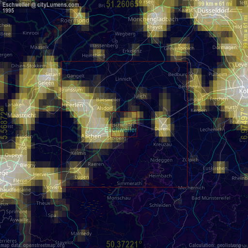
» NASA, Earths city lights 1995
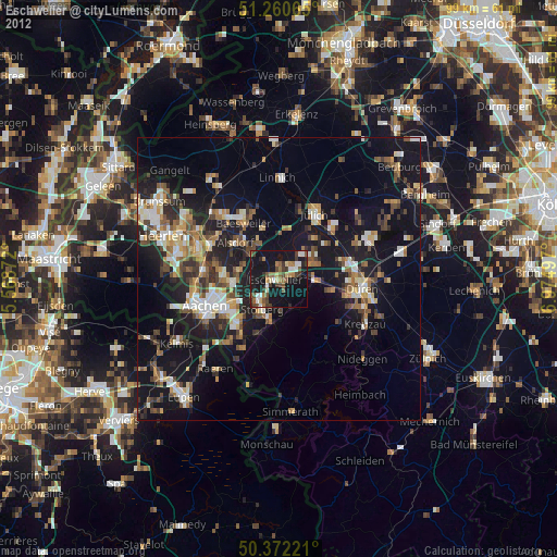
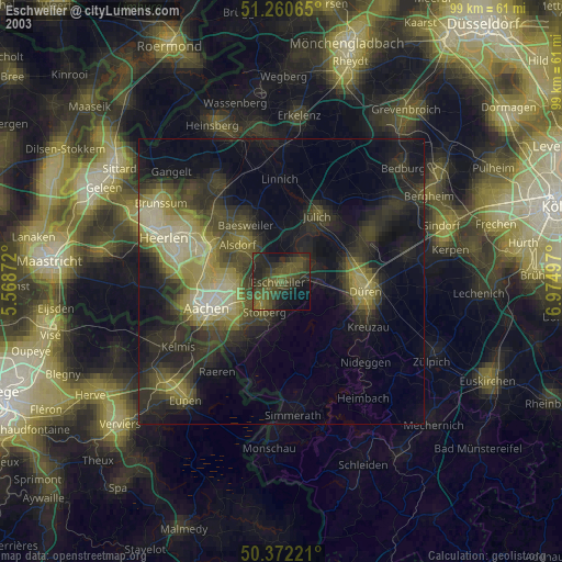
» NASA city lights 2003
» Earth at Night: Flat Maps 2012, 2016