Alsdorf night lights from space
Night Light of Alsdorf (North Rhine-Westphalia) from space (Germany) Src. Average luminocity for 10x10km area is 34.5182% and for 50x50km: 19.866%.
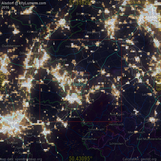
Analysis of Alsdorf night lights 2016
Square area 10x10 km:
 2.52%
2.52%90-99
3.64%80-89
1.4%70-79
4.62%60-69
4.9%50-59
7.98%40-49
5.46%30-39
7.98%20-29
28.29%10-19
26.75%0-9
6.44%Square area 50x50 km:
2.33%90-99
3.49%80-89
1.69%70-79
2.02%60-69
2.66%50-59
3.11%40-49
2.78%30-39
3.35%20-29
6.9%10-19
16.98%0-9
54.69%Clear (daylight) street map image can be seen on geolist.org.
Map coordinates:
51° 19' 5.8" North, 5° 27' 39.1" East
50° 52' 36.2" North, 6° 9' 50.4" East
50° 25' 51.4" North, 6° 52' 1.6" East
Some cities around Alsdorf sort by population:
• Eschweiler
10 km =6.2 mi,  130°
130°
• Kerkrade, NL
7.2 km =4.5 mi,  260°
260°
• Herzogenrath
5 km =3.1 mi, 259°
• Würselen
6.8 km =4.2 mi,  197°
197°
• Geilenkirchen
10.6 km =6.6 mi,  342°
342°
• Baesweiler
4.1 km =2.5 mi,  25°
25°
• Übach-Palenberg
5.4 km =3.4 mi,  328°
328°
• Aldenhoven
8.8 km =5.5 mi,  72°
72°
2958141 (p: 46,340)
Sources (retrieved 2019-11-25):
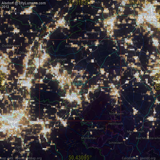
» Earth at Night: Flat Maps 2012, 2016