Aldenhoven night lights from space
Night Light of Aldenhoven (North Rhine-Westphalia) from space (Germany) Src. Average luminocity for 10x10km area is 12.8473% and for 50x50km: 18.9147%.
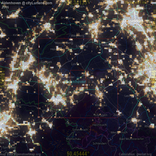
Analysis of Aldenhoven night lights 2016
Square area 10x10 km:
 0.42%
0.42%90-99
0.7%80-89
0.98%70-79
1.54%60-69
1.12%50-59
1.96%40-49
3.22%30-39
0.7%20-29
1.68%10-19
26.89%0-9
60.78%Square area 50x50 km:
2.2%90-99
3.18%80-89
1.63%70-79
1.91%60-69
2.32%50-59
2.9%40-49
2.74%30-39
3.15%20-29
5.64%10-19
18.12%0-9
56.19%Clear (daylight) street map image can be seen on geolist.org.
Map coordinates:
51° 20' 28.8" North, 5° 34' 48.8" East
50° 54' 0" North, 6° 16' 60" East
50° 27' 16" North, 6° 59' 11.3" East
Some cities around Aldenhoven sort by population:
• Eschweiler
9.1 km =5.7 mi,  185°
185°
• Alsdorf
8.8 km =5.5 mi,  252°
252°
• Jülich
6.1 km =3.8 mi,  66°
66°
• Baesweiler
6.7 km =4.2 mi,  279°
279°
• Übach-Palenberg
11.4 km =7.1 mi, 279°
• Langerwehe
10.4 km =6.5 mi,  153°
153°
• Linnich
8.9 km =5.5 mi,  354°
354°
• Inden
8.3 km =5.2 mi,  139°
139°
2958580 (p: 7,364)
Sources (retrieved 2019-11-25):
» Earth at Night: Flat Maps 2012, 2016