Langerwehe night lights from space
Night Light of Langerwehe (North Rhine-Westphalia) from space (Germany) Src. Average luminocity for 10x10km area is 21.7605% and for 50x50km: 16.8266%.
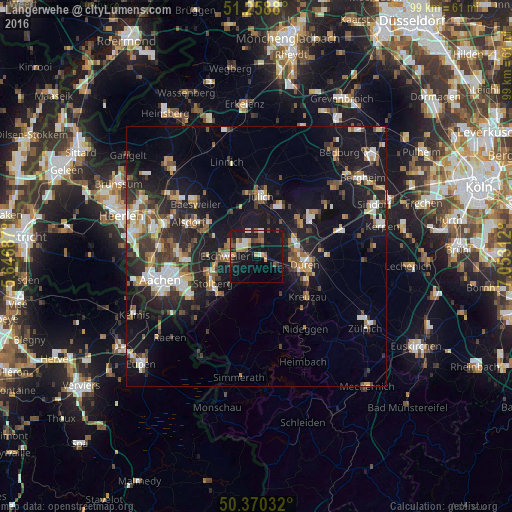
Analysis of Langerwehe night lights 2016
Square area 10x10 km:
 1.82%
1.82%90-99
2.52%80-89
1.96%70-79
3.64%60-69
2.38%50-59
3.64%40-49
2.66%30-39
2.52%20-29
2.66%10-19
36.83%0-9
39.36%Square area 50x50 km:
2.11%90-99
2.81%80-89
1.45%70-79
1.66%60-69
2%50-59
2.58%40-49
2.5%30-39
2.63%20-29
5.27%10-19
17%0-9
59.98%Clear (daylight) street map image can be seen on geolist.org.
Map coordinates:
51° 15' 31.7" North, 5° 38' 48.7" East
50° 49' 0" North, 6° 21' 0" East
50° 22' 13.2" North, 7° 3' 11.2" East
Some cities around Langerwehe sort by population:
• Düren
10.1 km =6.3 mi,  97°
97°
• Stolberg
9.9 km =6.2 mi,  241°
241°
• Eschweiler
5.5 km =3.4 mi,  272°
272°
• Jülich
11.7 km =7.3 mi,  4°
4°
• Niederzier
11 km =6.8 mi,  47°
47°
• Hürtgenwald
11.2 km =7 mi,  173°
173°
• Inden
3 km =1.9 mi,  13°
13°
• Aldenhoven
10.4 km =6.5 mi,  333°
333°
2880726 (p: 14,027)
Sources (retrieved 2019-11-25):
» Earth at Night: Flat Maps 2012, 2016