Baesweiler night lights from space
Night Light of Baesweiler (North Rhine-Westphalia) from space (Germany) Src. Average luminocity for 10x10km area is 24.2563% and for 50x50km: 19.589%.
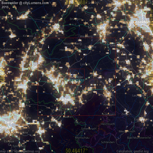
Analysis of Baesweiler night lights 2016
Square area 10x10 km:
 2.94%
2.94%90-99
2.66%80-89
0.56%70-79
4.9%60-69
3.5%50-59
4.06%40-49
3.92%30-39
2.66%20-29
8.82%10-19
26.47%0-9
39.5%Square area 50x50 km:
2.22%90-99
3.33%80-89
1.65%70-79
2.04%60-69
2.5%50-59
3.05%40-49
2.78%30-39
3.32%20-29
6.73%10-19
17.22%0-9
55.17%Clear (daylight) street map image can be seen on geolist.org.
Map coordinates:
51° 21' 3.2" North, 5° 29' 8.2" East
50° 54' 34.7" North, 6° 11' 19.5" East
50° 27' 51" North, 6° 53' 30.7" East
Some cities around Baesweiler sort by population:
• Kerkrade, NL
10.1 km =6.3 mi,  241°
241°
• Herzogenrath
8.1 km =5 mi, 235°
• Alsdorf
4.1 km =2.5 mi,  205°
205°
• Würselen
10.9 km =6.8 mi,  200°
200°
• Geilenkirchen
8.1 km =5 mi,  322°
322°
• Übach-Palenberg
4.7 km =2.9 mi,  281°
281°
• Linnich
9.7 km =6 mi,  36°
36°
• Aldenhoven
6.7 km =4.2 mi,  99°
99°
2953302 (p: 27,834)
Sources (retrieved 2019-11-25):
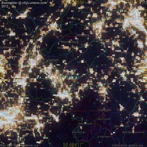
» Earth at Night: Flat Maps 2012, 2016