Würselen night lights from space
Night Light of Würselen (North Rhine-Westphalia) from space (Germany) Src. Average luminocity for 10x10km area is 51.0952% and for 50x50km: 20.4057%.
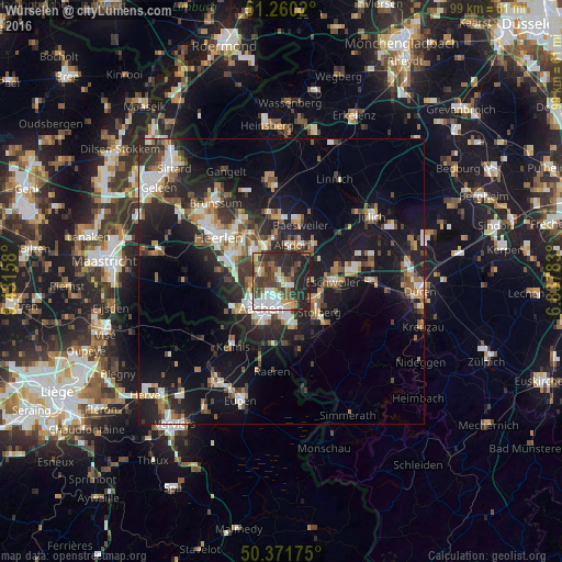
Analysis of Würselen night lights 2016
Square area 10x10 km:
 8.54%
8.54%90-99
10.36%80-89
7%70-79
2.66%60-69
4.9%50-59
10.08%40-49
7.7%30-39
14.43%20-29
23.25%10-19
11.06%0-9
0%Square area 50x50 km:
2.71%90-99
3.83%80-89
1.69%70-79
2.02%60-69
2.6%50-59
3.05%40-49
2.77%30-39
3.58%20-29
7.35%10-19
17.08%0-9
53.35%Clear (daylight) street map image can be seen on geolist.org.
Map coordinates:
51° 15' 36.7" North, 5° 25' 53.7" East
50° 49' 5.1" North, 6° 8' 4.9" East
50° 22' 18.3" North, 6° 50' 16.2" East
Some cities around Würselen sort by population:
• Aachen
5.9 km =3.7 mi,  218°
218°
• Stolberg
8.1 km =5 mi,  127°
127°
• Eschweiler
9.6 km =6 mi,  89°
89°
• Kerkrade, NL
7.3 km =4.5 mi,  316°
316°
• Herzogenrath
6.3 km =3.9 mi,  332°
332°
• Alsdorf
6.8 km =4.2 mi,  17°
17°
• Baesweiler
10.9 km =6.8 mi, 20°
• Vaals, NL
9.7 km =6 mi,  237°
237°
2805644 (p: 37,074)
Sources (retrieved 2019-11-25):
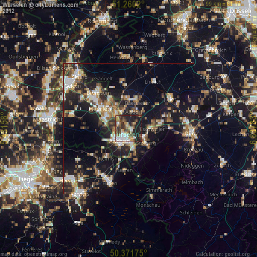
» Earth at Night: Flat Maps 2012, 2016