Jülich night lights from space
Night Light of Jülich (North Rhine-Westphalia) from space (Germany) Src. Average luminocity for 10x10km area is 18.014% and for 50x50km: 19.0063%.
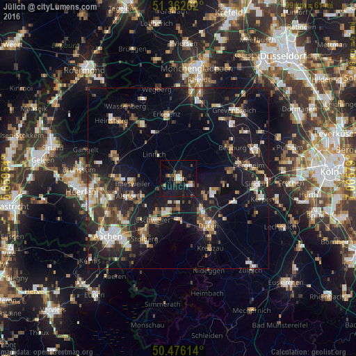
Analysis of Jülich night lights 2016
Square area 10x10 km:
 1.96%
1.96%90-99
2.66%80-89
0.84%70-79
1.82%60-69
1.68%50-59
2.24%40-49
3.92%30-39
2.38%20-29
2.52%10-19
27.17%0-9
52.8%Square area 50x50 km:
2.25%90-99
3.07%80-89
1.62%70-79
1.8%60-69
2.33%50-59
2.94%40-49
2.79%30-39
2.79%20-29
5.69%10-19
19.93%0-9
54.8%Clear (daylight) street map image can be seen on geolist.org.
Map coordinates:
51° 21' 45.4" North, 5° 39' 34.3" East
50° 55' 17.4" North, 6° 21' 45.6" East
50° 28' 34.1" North, 7° 3' 56.8" East
Some cities around Jülich sort by population:
• Eschweiler
13.1 km =8.1 mi,  209°
209°
• Baesweiler
12.3 km =7.6 mi,  263°
263°
• Niederzier
8.4 km =5.2 mi,  120°
120°
• Langerwehe
11.7 km =7.3 mi,  184°
184°
• Linnich
9.2 km =5.7 mi,  315°
315°
• Titz
10.4 km =6.5 mi,  24°
24°
• Inden
8.7 km =5.4 mi, 181°
• Aldenhoven
6.1 km =3.8 mi,  246°
246°
2894553 (p: 33,911)
Sources (retrieved 2019-11-25):
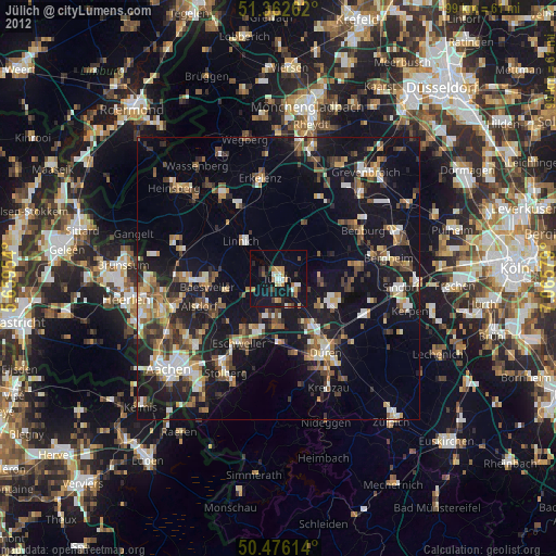
» Earth at Night: Flat Maps 2012, 2016