Dierdorf night lights from space
Night Light of Dierdorf (Rheinland-Pfalz) from space (Germany) Src. Average luminocity for 10x10km area is 2.5468% and for 50x50km: 6.853%.
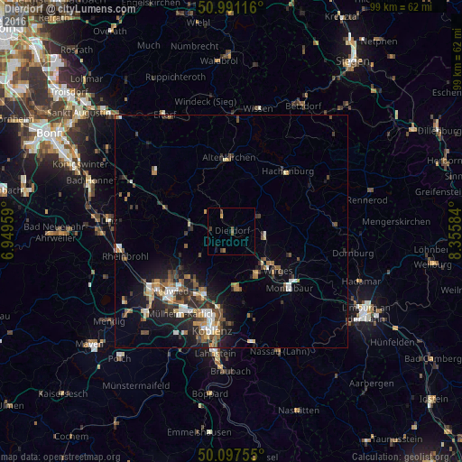
Analysis of Dierdorf night lights 2016
Square area 10x10 km:
 0%
0%90-99
0%80-89
0%70-79
0.53%60-69
0.67%50-59
0.94%40-49
1.07%30-39
0.53%20-29
0%10-19
1.07%0-9
95.19%Square area 50x50 km:
0.75%90-99
0.94%80-89
0.53%70-79
0.6%60-69
1.18%50-59
1.2%40-49
1.25%30-39
1.06%20-29
2.34%10-19
4.2%0-9
85.94%Clear (daylight) street map image can be seen on geolist.org.
Map coordinates:
50° 59' 28.2" North, 6° 56' 58.5" East
50° 32' 47.3" North, 7° 39' 9.8" East
50° 5' 51.2" North, 8° 21' 21" East
Some cities around Dierdorf sort by population:
• Bendorf
14.7 km =9.1 mi,  200°
200°
• Montabaur
17.2 km =10.7 mi,  135°
135°
• Höhr-Grenzhausen
12.5 km =7.8 mi,  174°
174°
• Vallendar
16.9 km =10.5 mi,  186°
186°
• Ransbach-Baumbach
10.5 km =6.5 mi,  149°
149°
• Altenkirchen
15.5 km =9.6 mi,  357°
357°
• Hachenburg
17.4 km =10.8 mi,  43°
43°
• Wirges
13.2 km =8.2 mi,  128°
128°
2937280 (p: 6,023)
Sources (retrieved 2019-11-25):
» Earth at Night: Flat Maps 2012, 2016