Vallendar night lights from space
Night Light of Vallendar (Rheinland-Pfalz) from space (Germany) Src. Average luminocity for 10x10km area is 34.2703% and for 50x50km: 7.3997%.
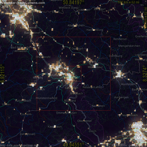
Analysis of Vallendar night lights 2016
Square area 10x10 km:
 5.6%
5.6%90-99
7.28%80-89
2.38%70-79
3.22%60-69
4.9%50-59
6.58%40-49
7.42%30-39
3.08%20-29
8.54%10-19
17.79%0-9
33.19%Square area 50x50 km:
0.81%90-99
0.97%80-89
0.67%70-79
0.65%60-69
1.17%50-59
1.27%40-49
1.37%30-39
1.11%20-29
2.39%10-19
4.75%0-9
84.85%Clear (daylight) street map image can be seen on geolist.org.
Map coordinates:
50° 50' 31.1" North, 6° 55' 16.1" East
50° 23' 45.1" North, 7° 37' 27.4" East
49° 56' 43.8" North, 8° 19' 38.6" East
Some cities around Vallendar sort by population:
• Koblenz
5.7 km =3.5 mi,  214°
214°
• Neuwied
11.7 km =7.3 mi,  291°
291°
• Lahnstein
10.7 km =6.6 mi,  182°
182°
• Bendorf
4.4 km =2.7 mi,  313°
313°
• Mülheim-Kärlich
9 km =5.6 mi,  262°
262°
• Höhr-Grenzhausen
5.4 km =3.4 mi,  36°
36°
• Bad Ems
9.2 km =5.7 mi,  136°
136°
• Ransbach-Baumbach
10.6 km =6.6 mi, 43°
2817909 (p: 8,959)
Sources (retrieved 2019-11-25):
» Earth at Night: Flat Maps 2012, 2016