Altenkirchen night lights from space
Night Light of Altenkirchen (Rheinland-Pfalz) from space (Germany) Src. Average luminocity for 10x10km area is 2.1324% and for 50x50km: 2.4456%.
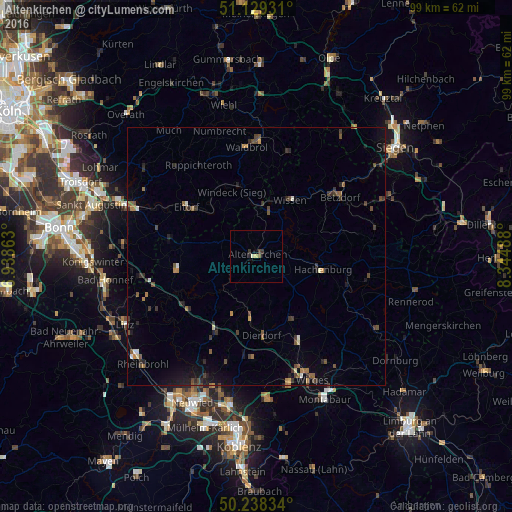
Analysis of Altenkirchen night lights 2016
Square area 10x10 km:
 0%
0%90-99
0.4%80-89
0.53%70-79
0.13%60-69
0%50-59
0.53%40-49
0.53%30-39
0.8%20-29
0.8%10-19
0.13%0-9
96.12%Square area 50x50 km:
0.09%90-99
0.16%80-89
0.13%70-79
0.2%60-69
0.42%50-59
0.46%40-49
0.59%30-39
0.72%20-29
0.67%10-19
1.31%0-9
95.26%Clear (daylight) street map image can be seen on geolist.org.
Map coordinates:
51° 7' 45.5" North, 6° 56' 19.1" East
50° 41' 9.4" North, 7° 38' 30.3" East
50° 14' 18" North, 8° 20' 41.6" East
Some cities around Altenkirchen sort by population:
• Eitorf
16.2 km =10.1 mi,  303°
303°
• Morsbach
21 km =13 mi,  16°
16°
• Ruppichteroth
20.7 km =12.9 mi,  327°
327°
• Betzdorf
20 km =12.4 mi,  54°
54°
• Wissen
12.3 km =7.6 mi,  32°
32°
• Asbach
16 km =9.9 mi,  262°
262°
• Dierdorf
15.5 km =9.6 mi,  177°
177°
• Hachenburg
13.1 km =8.1 mi,  102°
102°
2957567 (p: 6,385)
Sources (retrieved 2019-11-25):
» Earth at Night: Flat Maps 2012, 2016