Datteln night lights from space
Night Light of Datteln (North Rhine-Westphalia) from space (Germany) Src. Average luminocity for 10x10km area is 18.1513% and for 50x50km: 29.5516%.
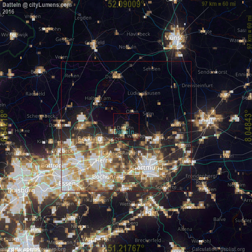
Analysis of Datteln night lights 2016
Square area 10x10 km:
 0.42%
0.42%90-99
1.12%80-89
2.52%70-79
1.54%60-69
2.52%50-59
5.46%40-49
4.76%30-39
1.4%20-29
4.2%10-19
20.73%0-9
55.32%Square area 50x50 km:
5.41%90-99
5.64%80-89
3.3%70-79
3.92%60-69
4.97%50-59
5.1%40-49
4.09%30-39
4.36%20-29
6.78%10-19
9.07%0-9
47.36%Clear (daylight) street map image can be seen on geolist.org.
Map coordinates:
52° 5' 24.3" North, 6° 38' 31.8" East
51° 39' 21.5" North, 7° 20' 43.1" East
51° 13' 3.6" North, 8° 2' 54.3" East
Some cities around Datteln sort by population:
• Recklinghausen
11.2 km =7 mi,  245°
245°
• Lünen
13.4 km =8.3 mi,  109°
109°
• Castrop-Rauxel
11.3 km =7 mi,  191°
191°
• Oer-Erkenschwick
5.8 km =3.6 mi, 254°
• Waltrop
5.5 km =3.4 mi,  134°
134°
• Selm
9.6 km =6 mi,  61°
61°
• Lüdinghausen
14.2 km =8.8 mi,  28°
28°
• Olfen
6.2 km =3.9 mi,  21°
21°
2938784 (p: 36,338)
Sources (retrieved 2019-11-25):
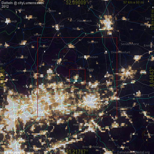
» Earth at Night: Flat Maps 2012, 2016