Recklinghausen night lights from space
Night Light of Recklinghausen (North Rhine-Westphalia) from space (Germany) Src. Average luminocity for 10x10km area is 47.7406% and for 50x50km: 36.553%.
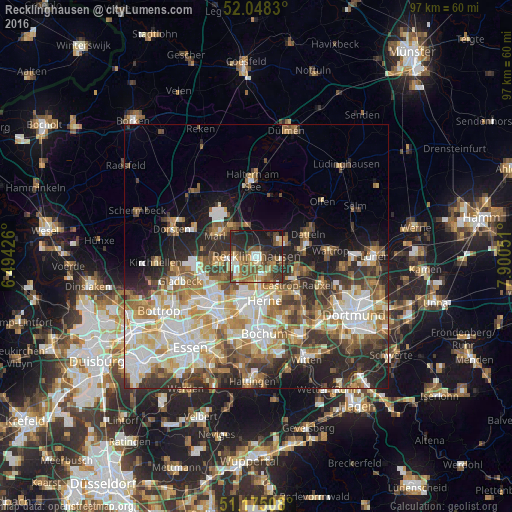
Analysis of Recklinghausen night lights 2016
Square area 10x10 km:
 4.68%
4.68%90-99
6.42%80-89
4.55%70-79
6.02%60-69
10.96%50-59
14.71%40-49
8.29%30-39
8.96%20-29
18.05%10-19
16.58%0-9
0.8%Square area 50x50 km:
7.34%90-99
7.79%80-89
4.31%70-79
4.79%60-69
5.9%50-59
5.58%40-49
4.4%30-39
5.45%20-29
7.98%10-19
8.45%0-9
38.02%Clear (daylight) street map image can be seen on geolist.org.
Map coordinates:
52° 2' 53.9" North, 6° 29' 39.3" East
51° 36' 49.6" North, 7° 11' 50.6" East
51° 10' 30.3" North, 7° 54' 1.8" East
Some cities around Recklinghausen sort by population:
• Bochum-Hordel
12.6 km =7.8 mi,  186°
186°
• Gelsenkirchen
14 km =8.7 mi,  209°
209°
• Herne
8.6 km =5.3 mi,  166°
166°
• Marl
8.8 km =5.5 mi,  302°
302°
• Castrop-Rauxel
10.1 km =6.3 mi,  128°
128°
• Herten
4.2 km =2.6 mi,  242°
242°
• Datteln
11.2 km =7 mi,  65°
65°
• Oer-Erkenschwick
5.6 km =3.5 mi,  55°
55°
2849647 (p: 122,438)
Sources (retrieved 2019-11-25):
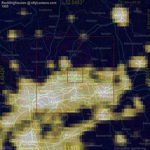
» NASA, Earths city lights 1995
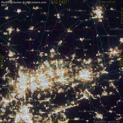
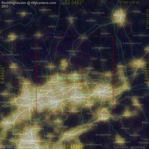
» NASA city lights 2003
» Earth at Night: Flat Maps 2012, 2016