Selm night lights from space
Night Light of Selm (North Rhine-Westphalia) from space (Germany) Src. Average luminocity for 10x10km area is 3.7437% and for 50x50km: 22.1256%.
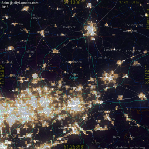
Analysis of Selm night lights 2016
Square area 10x10 km:
 0%
0%90-99
0%80-89
0.42%70-79
0.14%60-69
1.12%50-59
0%40-49
0%30-39
1.68%20-29
0.84%10-19
1.4%0-9
94.4%Square area 50x50 km:
3.46%90-99
3.95%80-89
2.09%70-79
2.91%60-69
3.56%50-59
4.12%40-49
3.33%30-39
3.57%20-29
5.4%10-19
10.36%0-9
57.25%Clear (daylight) street map image can be seen on geolist.org.
Map coordinates:
52° 7' 50.2" North, 6° 45' 53.9" East
51° 41' 48.8" North, 7° 28' 5.1" East
51° 15' 32.3" North, 8° 10' 16.4" East
Some cities around Selm sort by population:
• Lünen
9.9 km =6.2 mi,  154°
154°
• Datteln
9.6 km =6 mi,  241°
241°
• Werne
12 km =7.5 mi,  107°
107°
• Waltrop
9.6 km =6 mi,  208°
208°
• Lüdinghausen
8.1 km =5 mi,  348°
348°
• Ascheberg
14 km =8.7 mi,  46°
46°
• Olfen
6.3 km =3.9 mi,  281°
281°
• Nordkirchen
5.9 km =3.7 mi,  38°
38°
2833170 (p: 27,540)
Sources (retrieved 2019-11-25):
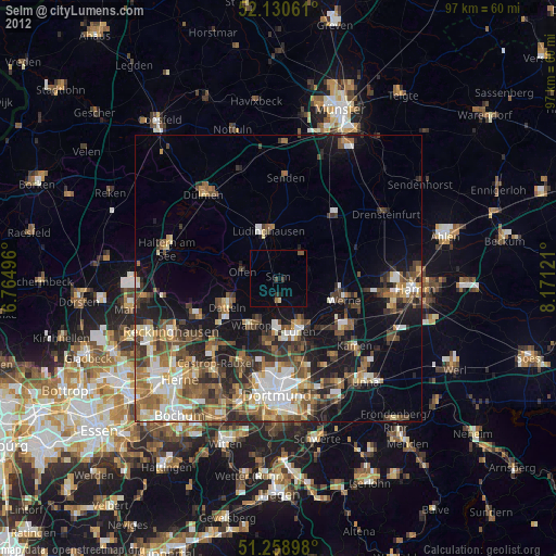
» Earth at Night: Flat Maps 2012, 2016