Ritterhude night lights from space
Night Light of Ritterhude (Lower Saxony) from space (Germany) Src. Average luminocity for 10x10km area is 21.7942% and for 50x50km: 9.822%.
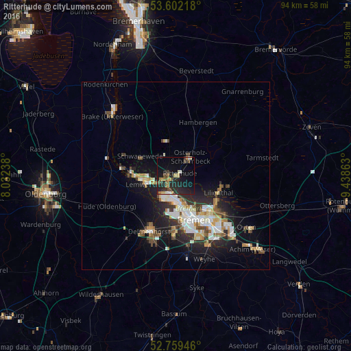
Analysis of Ritterhude night lights 2016
Square area 10x10 km:
 1.14%
1.14%90-99
1.89%80-89
2.02%70-79
3.54%60-69
3.54%50-59
1.26%40-49
5.05%30-39
1.64%20-29
14.77%10-19
22.85%0-9
42.3%Square area 50x50 km:
1.66%90-99
2.1%80-89
0.84%70-79
1.02%60-69
1.2%50-59
0.9%40-49
1.45%30-39
1.03%20-29
3.09%10-19
6.6%0-9
80.11%Clear (daylight) street map image can be seen on geolist.org.
Map coordinates:
53° 36' 7.8" North, 8° 1' 56.6" East
53° 10' 58.4" North, 8° 44' 7.8" East
52° 45' 34.1" North, 9° 26' 19.1" East
Some cities around Ritterhude sort by population:
• Bremen
12.9 km =8 mi,  158°
158°
• Vegesack
8.1 km =5 mi,  257°
257°
• Burglesum
3.7 km =2.3 mi,  237°
237°
• Osterholz-Scharmbeck
6.3 km =3.9 mi,  39°
39°
• Schwanewede
10.6 km =6.6 mi,  301°
301°
• Lilienthal
12.1 km =7.5 mi,  112°
112°
• Worpswede
13.7 km =8.5 mi,  74°
74°
• Lemwerder
8.1 km =5 mi, 257°
2846398 (p: 14,192)
Sources (retrieved 2019-11-25):
» Earth at Night: Flat Maps 2012, 2016