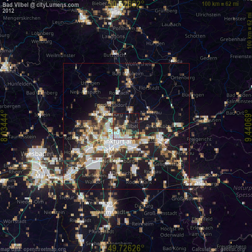
Bad Vilbel night lights from space
Night Light of Bad Vilbel (Hesse) from space (Germany) Src. Average luminocity for 10x10km area is 44.877% and for 50x50km: 26.015%.
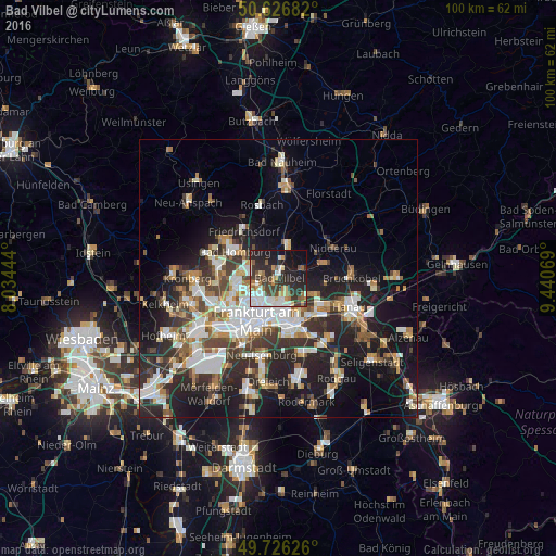
Analysis of Bad Vilbel night lights 2016
Square area 10x10 km:
 9.49%
9.49%90-99
8.82%80-89
3.88%70-79
4.28%60-69
4.81%50-59
5.48%40-49
6.02%30-39
11.1%20-29
18.32%10-19
20.86%0-9
6.95%Square area 50x50 km:
5.24%90-99
5.21%80-89
2.43%70-79
2.51%60-69
3.32%50-59
2.58%40-49
3.51%30-39
4.36%20-29
8.78%10-19
14.16%0-9
47.89%Clear (daylight) street map image can be seen on geolist.org.
Map coordinates:
50° 37' 36.6" North, 8° 2' 4" East
50° 10' 43.2" North, 8° 44' 15.2" East
49° 43' 34.5" North, 9° 26' 26.5" East
Some cities around Bad Vilbel sort by population:
• Frankfurt am Main
8 km =5 mi,  208°
208°
• Offenbach
8.9 km =5.5 mi,  166°
166°
• Bad Homburg vor der Höhe
10 km =6.2 mi,  302°
302°
• Maintal
7.5 km =4.7 mi,  115°
115°
• Mühlheim am Main
9.7 km =6 mi,  135°
135°
• Friedrichsdorf
10.4 km =6.5 mi,  319°
319°
• Karben
6.2 km =3.9 mi,  22°
22°
• Nidderau
11.3 km =7 mi,  54°
54°
2953321 (p: 30,736)
Sources (retrieved 2019-11-25):
» Earth at Night: Flat Maps 2012, 2016