Mühlheim am Main night lights from space
Night Light of Mühlheim am Main (Hesse) from space (Germany) Src. Average luminocity for 10x10km area is 52.2326% and for 50x50km: 26.3439%.
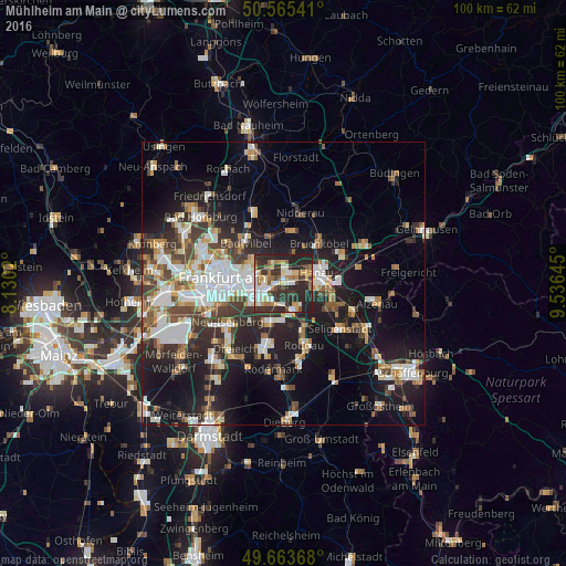
Analysis of Mühlheim am Main night lights 2016
Square area 10x10 km:
 8.29%
8.29%90-99
11.1%80-89
6.28%70-79
5.21%60-69
8.16%50-59
6.68%40-49
4.14%30-39
16.84%20-29
28.74%10-19
4.55%0-9
0%Square area 50x50 km:
5.26%90-99
5.16%80-89
2.27%70-79
2.5%60-69
3.55%50-59
2.76%40-49
3.63%30-39
4.3%20-29
7.67%10-19
16.56%0-9
46.33%Clear (daylight) street map image can be seen on geolist.org.
Map coordinates:
50° 33' 55.5" North, 8° 7' 48.7" East
50° 7' 0" North, 8° 49' 60" East
49° 39' 49.2" North, 9° 32' 11.2" East
Some cities around Mühlheim am Main sort by population:
• Frankfurt am Main
10.6 km =6.6 mi,  269°
269°
• Offenbach
5.1 km =3.2 mi,  249°
249°
• Hanau am Main
6.1 km =3.8 mi,  71°
71°
• Maintal
3.7 km =2.3 mi,  0°
0°
• Bad Vilbel
9.7 km =6 mi,  315°
315°
• Obertshausen
5.2 km =3.2 mi,  165°
165°
• Bruchköbel
9.4 km =5.8 mi,  42°
42°
• Heusenstamm
7.2 km =4.5 mi,  198°
198°
2867985 (p: 26,485)
Sources (retrieved 2019-11-25):
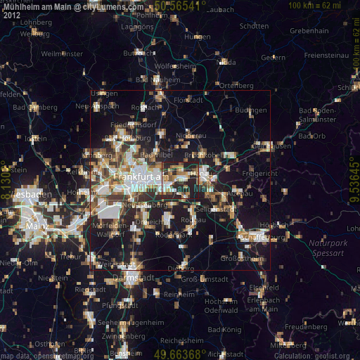
» Earth at Night: Flat Maps 2012, 2016