Bad Homburg vor der Höhe night lights from space
Night Light of Bad Homburg vor der Höhe (Hesse) from space (Germany) Src. Average luminocity for 10x10km area is 42.3957% and for 50x50km: 24.2353%.
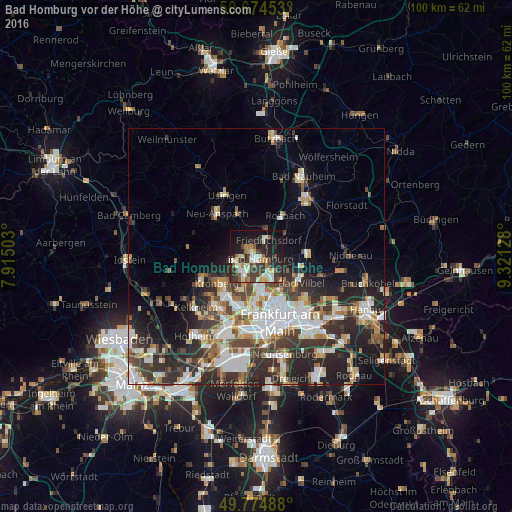
Analysis of Bad Homburg vor der Höhe night lights 2016
Square area 10x10 km:
 6.42%
6.42%90-99
8.56%80-89
6.02%70-79
3.88%60-69
4.14%50-59
5.35%40-49
4.68%30-39
12.17%20-29
15.64%10-19
25.94%0-9
7.22%Square area 50x50 km:
5.11%90-99
5.15%80-89
2.17%70-79
2.31%60-69
2.88%50-59
2.45%40-49
3.55%30-39
4.64%20-29
8.53%10-19
8.76%0-9
54.45%Clear (daylight) street map image can be seen on geolist.org.
Map coordinates:
50° 40' 28.3" North, 7° 54' 54.1" East
50° 13' 36.6" North, 8° 37' 5.4" East
49° 46' 29.6" North, 9° 19' 16.6" East
Some cities around Bad Homburg vor der Höhe sort by population:
• Oberursel
3.6 km =2.2 mi,  233°
233°
• Friedrichsdorf
3.1 km =1.9 mi,  34°
34°
• Eschborn
9.9 km =6.2 mi,  199°
199°
• Kronberg
8.3 km =5.2 mi, 234°
• Kronberg Tal
9.7 km =6 mi,  237°
237°
• Rosbach vor der Höhe
9.9 km =6.2 mi, 30°
• Steinbach am Taunus
7.3 km =4.5 mi,  206°
206°
• Wehrheim
8.9 km =5.5 mi,  335°
335°
2953436 (p: 51,859)
Sources (retrieved 2019-11-25):
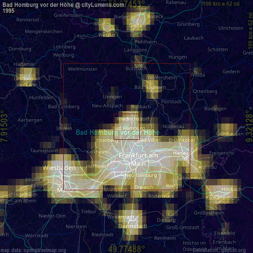
» NASA, Earths city lights 1995
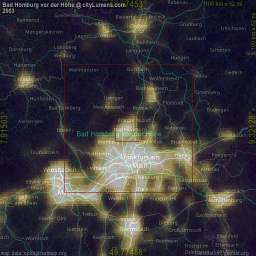
» NASA city lights 2003
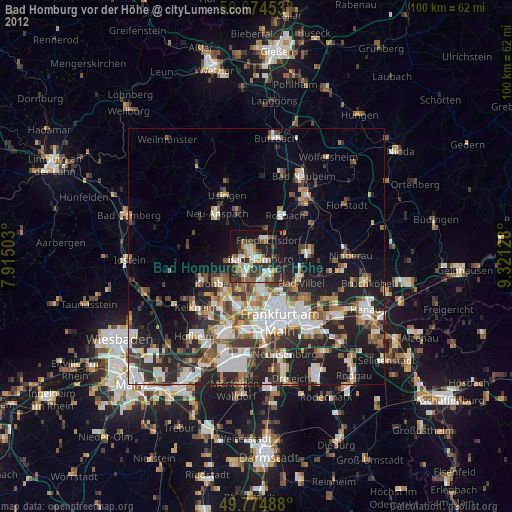
» Earth at Night: Flat Maps 2012, 2016