Limonar night lights from space
Night Light of Limonar (Matanzas) from space (Cuba) Src. Average luminocity for 10x10km area is 2.1726% and for 50x50km: 8.2276%.
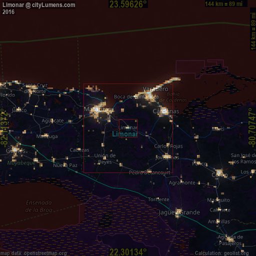
Analysis of Limonar night lights 2016
Square area 10x10 km:
 0%
0%90-99
0%80-89
0%70-79
1.59%60-69
0%50-59
0%40-49
0.79%30-39
0%20-29
1.59%10-19
0.4%0-9
95.63%Square area 50x50 km:
0.45%90-99
0.61%80-89
0.76%70-79
2.11%60-69
1.31%50-59
0.75%40-49
1.52%30-39
1.57%20-29
1.55%10-19
8.16%0-9
81.21%Clear (daylight) street map image can be seen on geolist.org.
Map coordinates:
23° 35' 46.5" North, 82° 6' 49.4" West
22° 57' 1.3" North, 81° 24' 38.1" West
22° 18' 4.8" North, 80° 42' 26.9" West
Some cities around Limonar sort by population:
• Matanzas
19.8 km =12.3 mi,  300°
300°
• Cárdenas
23 km =14.3 mi,  65°
65°
• Jovellanos
27.8 km =17.3 mi,  125°
125°
• Unión de Reyes
21.5 km =13.4 mi,  216°
216°
• Pedro Betancourt
27.7 km =17.2 mi,  153°
153°
• Varadero
28.6 km =17.8 mi,  36°
36°
• Bolondrón
21.2 km =13.2 mi,  190°
190°
• Alacranes
26 km =16.2 mi, 218°
3549835 (p: 25,421)
Sources (retrieved 2019-11-25):
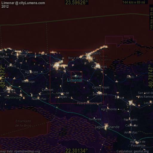
» Earth at Night: Flat Maps 2012, 2016