Yopal night lights from space
Night Light of Yopal (Casanare) from space (Colombia) Src. Average luminocity for 10x10km area is 32.1426% and for 50x50km: 3.2173%.
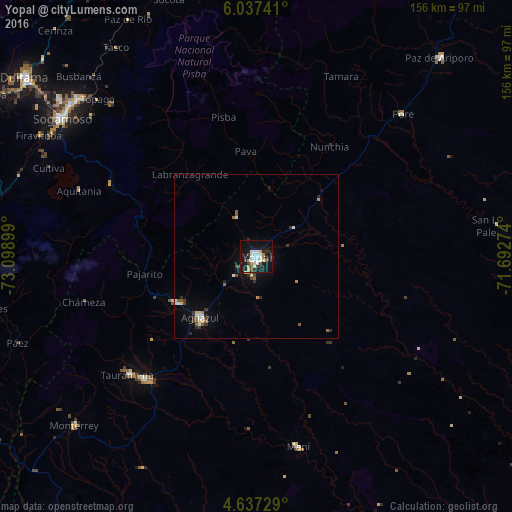
Analysis of Yopal night lights 2016
Square area 10x10 km:
 8.88%
8.88%90-99
5.17%80-89
3.72%70-79
3.72%60-69
1.45%50-59
1.03%40-49
2.07%30-39
5.79%20-29
3.72%10-19
39.67%0-9
24.79%Square area 50x50 km:
0.57%90-99
0.41%80-89
0.41%70-79
0.23%60-69
0.26%50-59
0.35%40-49
0.33%30-39
0.69%20-29
0.51%10-19
2.33%0-9
93.91%Clear (daylight) street map image can be seen on geolist.org.
Map coordinates:
6° 2' 14.7" North, 73° 5' 56.4" West
5° 20' 15.9" North, 72° 23' 45.1" West
4° 38' 14.2" North, 71° 41' 33.9" West
Some cities around Yopal sort by population:
• Sogamoso
72.8 km =45.2 mi,  305°
305°
• Villanueva
47.9 km =29.8 mi,  97°
97°
• Aguazul
24.8 km =15.4 mi,  222°
222°
• Monterrey
75.4 km =46.9 mi,  227°
227°
• Maní
59.4 km =36.9 mi,  167°
167°
• Santa Rosa de Viterbo
88.1 km =54.7 mi, 312°
• Aquitania
57.6 km =35.8 mi,  290°
290°
• Pesca
76.2 km =47.3 mi, 288°
3665688 (p: 61,029)
Sources (retrieved 2019-11-25):
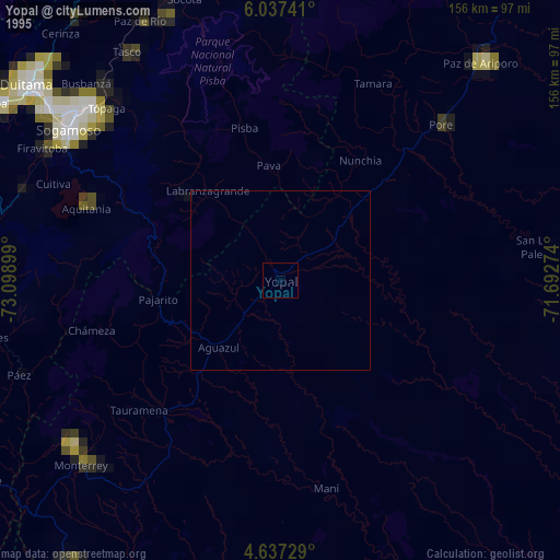
» NASA, Earths city lights 1995
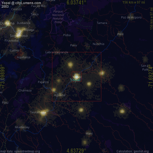
» NASA city lights 2003
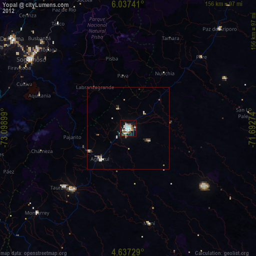
» Earth at Night: Flat Maps 2012, 2016