Aquitania night lights from space
Night Light of Aquitania (Boyacá) from space (Colombia) Src. Average luminocity for 10x10km area is 1.157% and for 50x50km: 2.0149%.
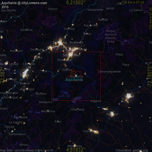
Analysis of Aquitania night lights 2016
Square area 10x10 km:
 0%
0%90-99
0%80-89
0%70-79
0%60-69
1.65%50-59
0%40-49
0%30-39
0%20-29
0%10-19
0%0-9
98.35%Square area 50x50 km:
0.22%90-99
0.19%80-89
0.2%70-79
0.27%60-69
0.41%50-59
0.09%40-49
0.21%30-39
0.53%20-29
0.57%10-19
1.93%0-9
95.37%Clear (daylight) street map image can be seen on geolist.org.
Map coordinates:
6° 13' 4.9" North, 73° 35' 13.2" West
5° 31' 6.9" North, 72° 53' 1.9" West
4° 49' 6" North, 72° 10' 50.7" West
Some cities around Aquitania sort by population:
• Sogamoso
22.5 km =14 mi,  345°
345°
• Duitama
37.9 km =23.5 mi,  333°
333°
• Aguazul
53.6 km =33.3 mi,  135°
135°
• Paipa
38.9 km =24.2 mi,  318°
318°
• Santa Rosa de Viterbo
41 km =25.5 mi,  344°
344°
• Belén
52.4 km =32.6 mi,  356°
356°
• Pesca
18.7 km =11.6 mi,  280°
280°
• Ramiriquí
51.7 km =32.1 mi,  255°
255°
3689771 (p: 5,718)
Sources (retrieved 2019-11-25):
» Earth at Night: Flat Maps 2012, 2016