Sogamoso night lights from space
Night Light of Sogamoso (Boyacá) from space (Colombia) Src. Average luminocity for 10x10km area is 40.3657% and for 50x50km: 6.7488%.
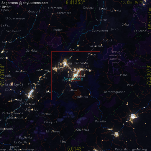
Analysis of Sogamoso night lights 2016
Square area 10x10 km:
 6.4%
6.4%90-99
5.99%80-89
4.34%70-79
5.17%60-69
9.92%50-59
2.89%40-49
3.72%30-39
8.47%20-29
11.98%10-19
33.88%0-9
7.23%Square area 50x50 km:
0.67%90-99
0.66%80-89
0.59%70-79
0.7%60-69
1.29%50-59
1.23%40-49
0.78%30-39
1.41%20-29
1.35%10-19
7.71%0-9
83.59%Clear (daylight) street map image can be seen on geolist.org.
Map coordinates:
6° 24' 48.7" North, 73° 38' 13.3" West
5° 42' 51.6" North, 72° 56' 2.1" West
5° 0' 51.5" North, 72° 13' 50.8" West
Some cities around Sogamoso sort by population:
• Tunja
52 km =32.3 mi,  247°
247°
• Duitama
16.5 km =10.3 mi,  317°
317°
• Paipa
21.5 km =13.4 mi,  289°
289°
• Santa Rosa de Viterbo
18.5 km =11.5 mi,  343°
343°
• Aquitania
22.5 km =14 mi,  165°
165°
• Belén
30.6 km =19 mi,  4°
4°
• Pesca
22.3 km =13.9 mi,  215°
215°
• Ramiriquí
56.5 km =35.1 mi,  231°
231°
3667873 (p: 126,551)
Sources (retrieved 2019-11-25):
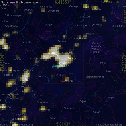
» NASA, Earths city lights 1995
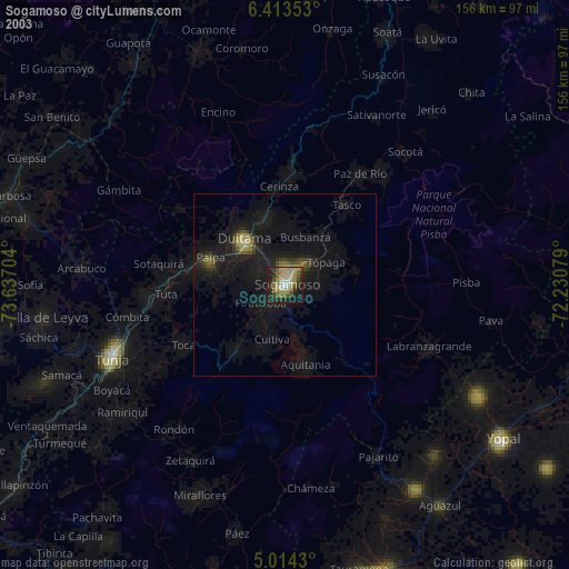
» NASA city lights 2003
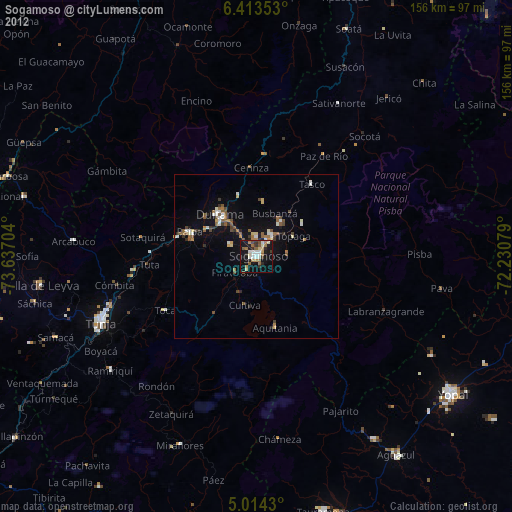
» Earth at Night: Flat Maps 2012, 2016