Monterrey night lights from space
Night Light of Monterrey (Casanare) from space (Colombia) Src. Average luminocity for 10x10km area is 5.8368% and for 50x50km: 1.3017%.
Analysis of Monterrey night lights 2016
Square area 10x10 km:
 0%
0%90-99
0.62%80-89
0.62%70-79
2.07%60-69
0%50-59
0%40-49
3.72%30-39
1.65%20-29
0%10-19
0.83%0-9
90.5%Square area 50x50 km:
0.09%90-99
0.1%80-89
0.18%70-79
0.17%60-69
0.21%50-59
0.24%40-49
0.35%30-39
0.27%20-29
0.1%10-19
0.31%0-9
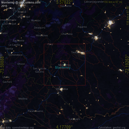
97.98%Clear (daylight) street map image can be seen on geolist.org.
Map coordinates:
5° 34' 41.6" North, 73° 35' 56" West
4° 52' 40.9" North, 72° 53' 44.7" West
4° 10' 37.5" North, 72° 11' 33.5" West
Some cities around Monterrey sort by population:
• Yopal
75.4 km =46.9 mi,  47°
47°
• Aguazul
50.7 km =31.5 mi, 49°
• Garagoa
56.6 km =35.2 mi,  293°
293°
• Guateque
65.5 km =40.7 mi,  282°
282°
• Maní
68.6 km =42.6 mi,  95°
95°
• Aquitania
71.2 km =44.2 mi,  1°
1°
• Pesca
76.6 km =47.6 mi,  347°
347°
• Ramiriquí
75.8 km =47.1 mi,  320°
320°
3769932 (p: 7,759)
Sources (retrieved 2019-11-25):
» Earth at Night: Flat Maps 2012, 2016