San José del Guaviare night lights from space
Night Light of San José del Guaviare (Guaviare) from space (Colombia) Src. Average luminocity for 10x10km area is 10.3203% and for 50x50km: 0.5027%.
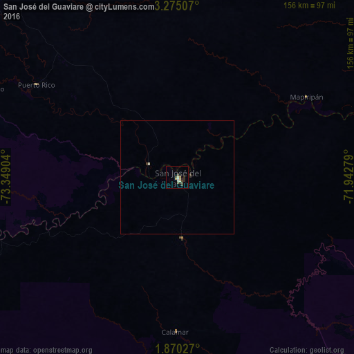
Analysis of San José del Guaviare night lights 2016
Square area 10x10 km:
 0.65%
0.65%90-99
1.08%80-89
3.25%70-79
0.22%60-69
0.87%50-59
0.87%40-49
2.6%30-39
3.68%20-29
2.38%10-19
0%0-9
84.42%Square area 50x50 km:
0.03%90-99
0.08%80-89
0.13%70-79
0.01%60-69
0.03%50-59
0.03%40-49
0.1%30-39
0.24%20-29
0.1%10-19
0%0-9
99.24%Clear (daylight) street map image can be seen on geolist.org.
Map coordinates:
3° 16' 30.3" North, 73° 20' 56.5" West
2° 34' 22.3" North, 72° 38' 45.3" West
1° 52' 13" North, 71° 56' 34" West
Some cities around San José del Guaviare sort by population:
• Acacías
199.9 km =124.2 mi,  321°
321°
• Granada
160 km =99.4 mi,  312°
312°
• Puerto López
173.2 km =107.6 mi,  348°
348°
• San Martín
171.1 km =106.3 mi, 316°
• Lejanías
186.2 km =115.7 mi,  304°
304°
• Puerto Lleras
97.9 km =60.8 mi, 300°
• Puerto Yuca
74.5 km =46.3 mi, 303°
• Guamal
191.3 km =118.9 mi, 319°
3828545 (p: 22,136)
Sources (retrieved 2019-11-25):
» Earth at Night: Flat Maps 2012, 2016