Puerto Lleras night lights from space
Night Light of Puerto Lleras (Meta) from space (Colombia) Src. Average luminocity for 10x10km area is 0% and for 50x50km: 0.0462%.
Analysis of Puerto Lleras night lights 2016
Square area 10x10 km:
 0%
0%90-99
0%80-89
0%70-79
0%60-69
0%50-59
0%40-49
0%30-39
0%20-29
0%10-19
0%0-9
100%Square area 50x50 km:
0%90-99
0%80-89
0.03%70-79
0%60-69
0%50-59
0%40-49
0.03%30-39
0%20-29
0%10-19
0%0-9
99.93%Clear (daylight) street map image can be seen on geolist.org.
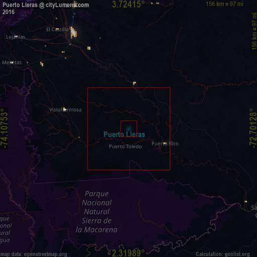
Map coordinates:
3° 43' 26.9" North, 74° 6' 27.1" West
3° 1' 20.1" North, 73° 24' 15.8" West
2° 19' 11.6" North, 72° 42' 4.6" West
Some cities around Puerto Lleras sort by population:
• Villavicencio
126.9 km =78.9 mi,  348°
348°
• Acacías
114.2 km =71 mi,  339°
339°
• Granada
67.2 km =41.8 mi,  330°
330°
• San José del Guaviare
97.9 km =60.8 mi,  120°
120°
• San Martín
81.8 km =50.8 mi, 336°
• Restrepo
138.5 km =86.1 mi, 352°
• Lejanías
88.8 km =55.2 mi,  309°
309°
• Guamal
103.5 km =64.3 mi, 337°
3671424 (p: 5,076)
Sources (retrieved 2019-11-25):
» Earth at Night: Flat Maps 2012, 2016