Puerto Yuca night lights from space
Night Light of Puerto Yuca (Meta) from space (Colombia) Src. Average luminocity for 10x10km area is 1.1494% and for 50x50km: 0.046%.
Analysis of Puerto Yuca night lights 2016
Square area 10x10 km:
 0%
0%90-99
0%80-89
0.87%70-79
0%60-69
0%50-59
0%40-49
0.87%30-39
0%20-29
0%10-19
0%0-9
98.27%Square area 50x50 km:
0%90-99
0%80-89
0.03%70-79
0%60-69
0%50-59
0%40-49
0.03%30-39
0%20-29
0%10-19
0%0-9
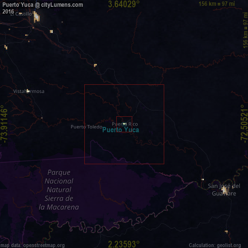
99.93%Clear (daylight) street map image can be seen on geolist.org.
Map coordinates:
3° 38' 25" North, 73° 54' 41.3" West
2° 56' 18" North, 73° 12' 30" West
2° 14' 9.3" North, 72° 30' 18.8" West
Some cities around Puerto Yuca sort by population:
• Villavicencio
141.7 km =88 mi,  340°
340°
• Acacías
131.6 km =81.8 mi,  332°
332°
• Granada
87.4 km =54.3 mi,  320°
320°
• San José del Guaviare
74.5 km =46.3 mi,  123°
123°
• San Martín
100.4 km =62.4 mi, 327°
• Cumaral
151.3 km =94 mi,  348°
348°
• Lejanías
111.7 km =69.4 mi,  305°
305°
• Guamal
121.7 km =75.6 mi, 329°
3671346 (p: 5,029)
Sources (retrieved 2019-11-25):
» Earth at Night: Flat Maps 2012, 2016