Acacías night lights from space
Night Light of Acacías (Meta) from space (Colombia) Src. Average luminocity for 10x10km area is 29.9372% and for 50x50km: 11.3274%.
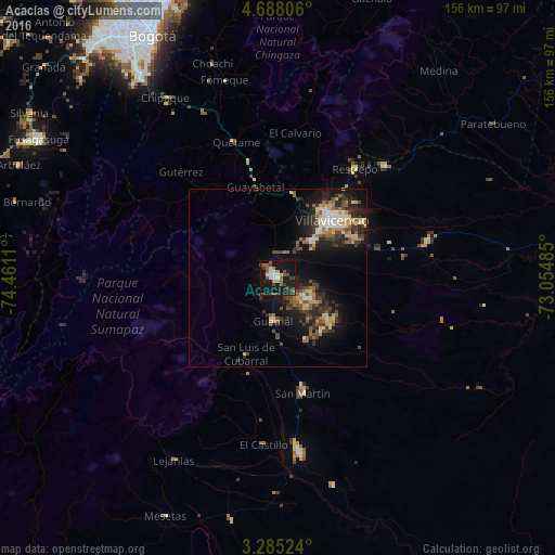
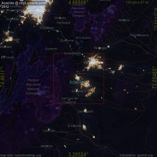
Analysis of Acacías night lights 2016
Square area 10x10 km:
 3.9%
3.9%90-99
4.11%80-89
1.52%70-79
3.03%60-69
1.08%50-59
8.44%40-49
7.58%30-39
4.98%20-29
2.16%10-19
47.4%0-9
15.8%Square area 50x50 km:
1.13%90-99
1.16%80-89
1.7%70-79
1.09%60-69
1.29%50-59
2.14%40-49
2.12%30-39
2.79%20-29
3.36%10-19
9.19%0-9
74.04%Clear (daylight) street map image can be seen on geolist.org.
Map coordinates:
4° 41' 17" North, 74° 27' 40" West
3° 59' 13" North, 73° 45' 28.7" West
3° 17' 6.9" North, 73° 3' 17.5" West
Some cities around Acacías sort by population:
• Villavicencio
22.6 km =14 mi,  40°
40°
• Granada
49.3 km =30.6 mi,  173°
173°
• San Martín
33 km =20.5 mi, 168°
• Cumaral
43.6 km =27.1 mi, 43°
• Cáqueza
51.1 km =31.8 mi,  335°
335°
• Restrepo
37.2 km =23.1 mi, 35°
• Fómeque
57.8 km =35.9 mi, 344°
• Guamal
11.9 km =7.4 mi,  184°
184°
3690577 (p: 40,627)
Sources (retrieved 2019-11-25):
» Earth at Night: Flat Maps 2012, 2016