Ramiriquí night lights from space
Night Light of Ramiriquí (Boyacá) from space (Colombia) Src. Average luminocity for 10x10km area is 4.2851% and for 50x50km: 3.0111%.
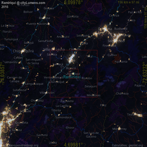
Analysis of Ramiriquí night lights 2016
Square area 10x10 km:
 0%
0%90-99
0%80-89
0.83%70-79
0.83%60-69
0%50-59
0%40-49
1.24%30-39
0.83%20-29
6.2%10-19
0.21%0-9
89.88%Square area 50x50 km:
0.46%90-99
0.44%80-89
0.15%70-79
0.26%60-69
0.31%50-59
0.51%40-49
0.36%30-39
0.51%20-29
0.76%10-19
2.41%0-9
93.84%Clear (daylight) street map image can be seen on geolist.org.
Map coordinates:
6° 5' 59.2" North, 74° 2' 18.9" West
5° 24' 0.7" North, 73° 20' 7.6" West
4° 41' 59.3" North, 72° 37' 56.4" West
Some cities around Ramiriquí sort by population:
• Tunja
15.4 km =9.6 mi,  346°
346°
• Paipa
48.7 km =30.3 mi,  29°
29°
• Garagoa
35.5 km =22.1 mi,  184°
184°
• Chocontá
48.1 km =29.9 mi,  233°
233°
• Guateque
46.4 km =28.8 mi,  199°
199°
• Villapinzón
35.3 km =21.9 mi, 234°
• Pesca
35.7 km =22.2 mi,  62°
62°
• Villa de Leyva
33.4 km =20.8 mi,  321°
321°
3671002 (p: 5,039)
Sources (retrieved 2019-11-25):
» Earth at Night: Flat Maps 2012, 2016