Garagoa night lights from space
Night Light of Garagoa (Boyacá) from space (Colombia) Src. Average luminocity for 10x10km area is 1.9132% and for 50x50km: 0.343%.
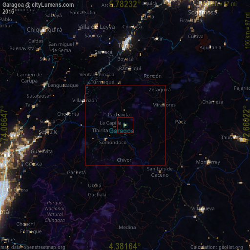
Analysis of Garagoa night lights 2016
Square area 10x10 km:
 0%
0%90-99
0%80-89
0%70-79
0.83%60-69
0.83%50-59
0%40-49
0.83%30-39
0.83%20-29
0%10-19
0%0-9
96.69%Square area 50x50 km:
0%90-99
0%80-89
0.03%70-79
0.07%60-69
0.1%50-59
0.09%40-49
0.11%30-39
0.1%20-29
0.03%10-19
0.04%0-9
99.41%Clear (daylight) street map image can be seen on geolist.org.
Map coordinates:
5° 46' 56.4" North, 74° 3' 59.3" West
5° 4' 56.5" North, 73° 21' 48" West
4° 22' 53.9" North, 72° 39' 36.8" West
Some cities around Garagoa sort by population:
• Tunja
50.4 km =31.3 mi,  359°
359°
• Villa de San Diego de Ubaté
56.1 km =34.9 mi,  296°
296°
• Monterrey
56.6 km =35.2 mi,  113°
113°
• Chocontá
36.4 km =22.6 mi,  280°
280°
• Guateque
14.8 km =9.2 mi,  235°
235°
• Villapinzón
29.6 km =18.4 mi, 300°
• Nemocón
57 km =35.4 mi,  268°
268°
• Ramiriquí
35.5 km =22.1 mi,  4°
4°
3682160 (p: 11,102)
Sources (retrieved 2019-11-25):
» Earth at Night: Flat Maps 2012, 2016