Puerto Tejada night lights from space
Night Light of Puerto Tejada (Cauca) from space (Colombia) Src. Average luminocity for 10x10km area is 33.6104% and for 50x50km: 25.0718%.
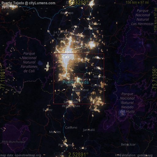
Analysis of Puerto Tejada night lights 2016
Square area 10x10 km:
 3.46%
3.46%90-99
1.73%80-89
1.73%70-79
7.58%60-69
6.06%50-59
7.14%40-49
9.09%30-39
4.55%20-29
11.47%10-19
29.87%0-9
17.32%Square area 50x50 km:
3.5%90-99
3.64%80-89
2.54%70-79
3.12%60-69
4.51%50-59
4.01%40-49
5.09%30-39
4.14%20-29
5.32%10-19
13.12%0-9
51.01%Clear (daylight) street map image can be seen on geolist.org.
Map coordinates:
3° 55' 58.4" North, 77° 7' 11.3" West
3° 13' 52.1" North, 76° 25' 0" West
2° 31' 44.1" North, 75° 42' 48.8" West
Some cities around Puerto Tejada sort by population:
• Cali
25.7 km =16 mi,  332°
332°
• Florida
22.6 km =14 mi,  63°
63°
• Jamundí
13.5 km =8.4 mi,  284°
284°
• Santander de Quilichao
25.8 km =16 mi,  197°
197°
• Candelaria
20.9 km =13 mi,  21°
21°
• Corinto
18.3 km =11.4 mi,  110°
110°
• Miranda
20.9 km =13 mi,  83°
83°
• Caloto
21.7 km =13.5 mi,  177°
177°
3671315 (p: 53,674)
Sources (retrieved 2019-11-25):
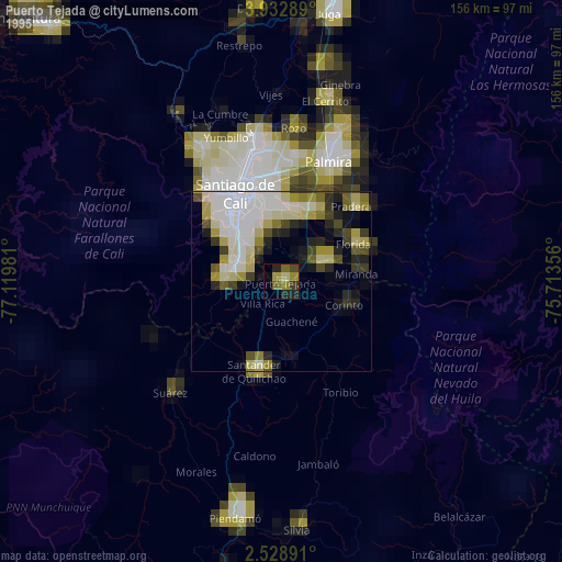
» NASA, Earths city lights 1995
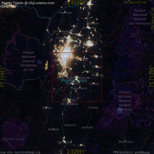
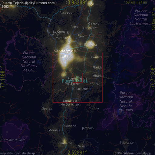
» NASA city lights 2003
» Earth at Night: Flat Maps 2012, 2016