Corinto night lights from space
Night Light of Corinto (Cauca) from space (Colombia) Src. Average luminocity for 10x10km area is 6.2662% and for 50x50km: 12.5788%.
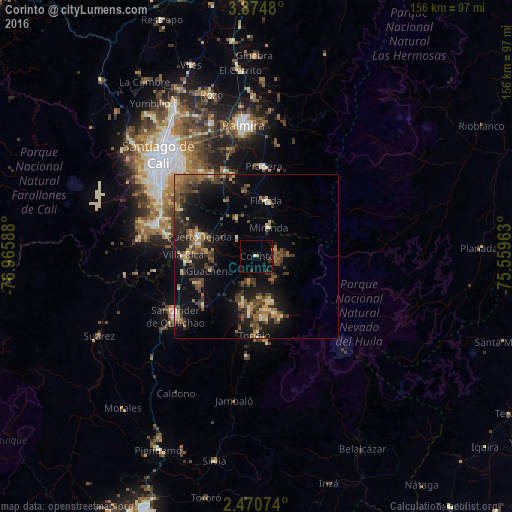
Analysis of Corinto night lights 2016
Square area 10x10 km:
 0%
0%90-99
0.87%80-89
0%70-79
0.65%60-69
0.65%50-59
0%40-49
0%30-39
3.46%20-29
0.87%10-19
1.3%0-9
92.21%Square area 50x50 km:
0.24%90-99
1.14%80-89
1.14%70-79
1.48%60-69
2.1%50-59
2.15%40-49
3.84%30-39
3.18%20-29
3.58%10-19
10.52%0-9
70.6%Clear (daylight) street map image can be seen on geolist.org.
Map coordinates:
3° 52' 29.3" North, 76° 57' 57.2" West
3° 10' 22.8" North, 76° 15' 45.9" West
2° 28' 14.7" North, 75° 33' 34.7" West
Some cities around Corinto sort by population:
• Puerto Tejada
18.3 km =11.4 mi,  290°
290°
• Florida
16.9 km =10.5 mi,  10°
10°
• Jamundí
31.8 km =19.8 mi, 287°
• Pradera
27.7 km =17.2 mi,  4°
4°
• Santander de Quilichao
30.6 km =19 mi,  233°
233°
• Candelaria
27.7 km =17.2 mi,  339°
339°
• Miranda
9.6 km =6 mi,  22°
22°
• Caloto
22.2 km =13.8 mi, 226°
3685871 (p: 16,579)
Sources (retrieved 2019-11-25):
» Earth at Night: Flat Maps 2012, 2016