Candelaria night lights from space
Night Light of Candelaria (Valle del Cauca) from space (Colombia) Src. Average luminocity for 10x10km area is 28.9545% and for 50x50km: 30.9933%.
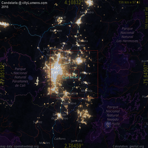
Analysis of Candelaria night lights 2016
Square area 10x10 km:
 1.3%
1.3%90-99
2.16%80-89
1.3%70-79
4.76%60-69
5.41%50-59
3.25%40-49
6.49%30-39
10.39%20-29
15.15%10-19
32.68%0-9
17.1%Square area 50x50 km:
5.62%90-99
4.92%80-89
2.6%70-79
3.67%60-69
5.7%50-59
5.4%40-49
6.1%30-39
5.3%20-29
7.39%10-19
11.31%0-9
41.99%Clear (daylight) street map image can be seen on geolist.org.
Map coordinates:
4° 6' 30" North, 77° 3' 4.8" West
3° 24' 24.2" North, 76° 20' 53.5" West
2° 42' 16.5" North, 75° 38' 42.3" West
Some cities around Candelaria sort by population:
• Cali
19.6 km =12.2 mi,  279°
279°
• Palmira
15.6 km =9.7 mi,  18°
18°
• Yumbo
25.2 km =15.7 mi,  320°
320°
• Puerto Tejada
20.9 km =13 mi,  201°
201°
• Florida
15.7 km =9.8 mi,  126°
126°
• Jamundí
26.3 km =16.3 mi,  231°
231°
• Pradera
11.6 km =7.2 mi,  82°
82°
• Miranda
21.6 km =13.4 mi,  142°
142°
3687644 (p: 23,989)
Sources (retrieved 2019-11-25):
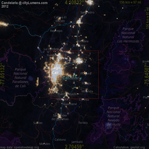
» Earth at Night: Flat Maps 2012, 2016