Santander de Quilichao night lights from space
Night Light of Santander de Quilichao (Cauca) from space (Colombia) Src. Average luminocity for 10x10km area is 27.2792% and for 50x50km: 7.8835%.
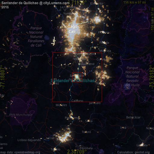
Analysis of Santander de Quilichao night lights 2016
Square area 10x10 km:
 1.73%
1.73%90-99
4.33%80-89
1.95%70-79
3.46%60-69
3.03%50-59
5.41%40-49
7.36%30-39
7.36%20-29
3.25%10-19
26.84%0-9
35.28%Square area 50x50 km:
0.2%90-99
0.88%80-89
0.52%70-79
0.87%60-69
1.18%50-59
1.33%40-49
2.46%30-39
2.01%20-29
2.22%10-19
6.94%0-9
81.39%Clear (daylight) street map image can be seen on geolist.org.
Map coordinates:
3° 42' 40.9" North, 77° 11' 17.1" West
3° 0' 34" North, 76° 29' 5.8" West
2° 18' 25.5" North, 75° 46' 54.6" West
Some cities around Santander de Quilichao sort by population:
• Puerto Tejada
25.8 km =16 mi,  17°
17°
• Jamundí
28.5 km =17.7 mi,  348°
348°
• Piendamo
41.5 km =25.8 mi,  187°
187°
• Morales
32.5 km =20.2 mi,  209°
209°
• Corinto
30.6 km =19 mi,  53°
53°
• Miranda
39.2 km =24.4 mi, 46°
• Suárez
24.3 km =15.1 mi,  255°
255°
• Caloto
9 km =5.6 mi,  71°
71°
3668572 (p: 40,798)
Sources (retrieved 2019-11-25):
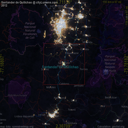
» Earth at Night: Flat Maps 2012, 2016