Florida night lights from space
Night Light of Florida (Valle del Cauca) from space (Colombia) Src. Average luminocity for 10x10km area is 9.3961% and for 50x50km: 13.2388%.
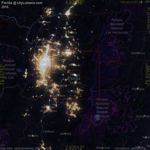
Analysis of Florida night lights 2016
Square area 10x10 km:
 1.08%
1.08%90-99
0.87%80-89
2.38%70-79
0.43%60-69
1.3%50-59
0%40-49
0.87%30-39
1.73%20-29
0.87%10-19
0%0-9
90.48%Square area 50x50 km:
0.85%90-99
0.94%80-89
0.85%70-79
1.4%60-69
2.67%50-59
2.97%40-49
4%30-39
3.81%20-29
3.71%10-19
7.92%0-9
70.88%Clear (daylight) street map image can be seen on geolist.org.
Map coordinates:
4° 1' 26.3" North, 76° 56' 16.5" West
3° 19' 20.3" North, 76° 14' 5.3" West
2° 37' 12.4" North, 75° 31' 54" West
Some cities around Florida sort by population:
• Cali
34.4 km =21.4 mi,  291°
291°
• Palmira
25.3 km =15.7 mi,  342°
342°
• Puerto Tejada
22.6 km =14 mi,  243°
243°
• Jamundí
34 km =21.1 mi,  258°
258°
• Pradera
11 km =6.8 mi,  354°
354°
• Candelaria
15.7 km =9.8 mi,  306°
306°
• Corinto
16.9 km =10.5 mi,  190°
190°
• Miranda
7.7 km =4.8 mi,  175°
175°
3682393 (p: 47,173)
Sources (retrieved 2019-11-25):
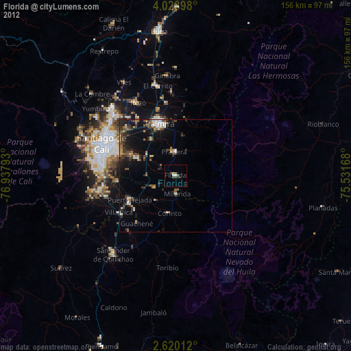
» Earth at Night: Flat Maps 2012, 2016