Pradera night lights from space
Night Light of Pradera (Valle del Cauca) from space (Colombia) Src. Average luminocity for 10x10km area is 11.3398% and for 50x50km: 15.4168%.
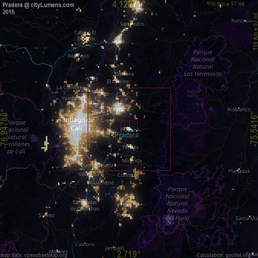
Analysis of Pradera night lights 2016
Square area 10x10 km:
 1.95%
1.95%90-99
1.52%80-89
0.87%70-79
0%60-69
2.6%50-59
1.73%40-49
0%30-39
0.87%20-29
0.22%10-19
3.68%0-9
86.58%Square area 50x50 km:
1.11%90-99
1.3%80-89
0.98%70-79
1.56%60-69
3.03%50-59
3.48%40-49
4.46%30-39
4.08%20-29
5.7%10-19
9.48%0-9
64.82%Clear (daylight) street map image can be seen on geolist.org.
Map coordinates:
4° 7' 21.8" North, 76° 56' 52.3" West
3° 25' 16" North, 76° 14' 41" West
2° 43' 8.4" North, 75° 32' 29.8" West
Some cities around Pradera sort by population:
• Cali
30.9 km =19.2 mi,  273°
273°
• Palmira
14.7 km =9.1 mi,  333°
333°
• Puerto Tejada
28.5 km =17.7 mi,  222°
222°
• Florida
11 km =6.8 mi,  174°
174°
• El Cerrito
30.4 km =18.9 mi,  345°
345°
• Candelaria
11.6 km =7.2 mi,  262°
262°
• Corinto
27.7 km =17.2 mi,  184°
184°
• Miranda
18.8 km =11.7 mi, 174°
3671772 (p: 44,630)
Sources (retrieved 2019-11-25):
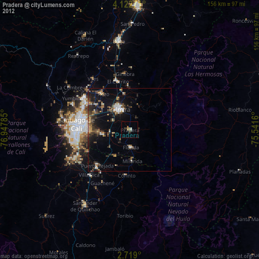
» Earth at Night: Flat Maps 2012, 2016