Moniquirá night lights from space
Night Light of Moniquirá (Boyacá) from space (Colombia) Src. Average luminocity for 10x10km area is 3.6136% and for 50x50km: 0.8359%.
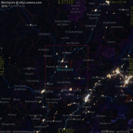
Analysis of Moniquirá night lights 2016
Square area 10x10 km:
 0%
0%90-99
0.83%80-89
0.83%70-79
0%60-69
1.65%50-59
0%40-49
0%30-39
0.83%20-29
0%10-19
0%0-9
95.87%Square area 50x50 km:
0.03%90-99
0.08%80-89
0.13%70-79
0.14%60-69
0.21%50-59
0.09%40-49
0.14%30-39
0.21%20-29
0.15%10-19
0.1%0-9
98.73%Clear (daylight) street map image can be seen on geolist.org.
Map coordinates:
6° 34' 31.3" North, 74° 16' 33.5" West
5° 52' 35" North, 73° 34' 22.2" West
5° 10' 35.5" North, 72° 52' 11" West
Some cities around Moniquirá sort by population:
• Tunja
44.2 km =27.5 mi,  149°
149°
• Chiquinquirá
39.6 km =24.6 mi,  223°
223°
• Barbosa
7.7 km =4.8 mi,  322°
322°
• Paipa
51.5 km =32 mi,  101°
101°
• Vélez
18.9 km =11.7 mi, 323°
• Puente Nacional
11.6 km =7.2 mi,  270°
270°
• Villa de Leyva
27.5 km =17.1 mi,  168°
168°
• Ramiriquí
59.1 km =36.7 mi, 153°
3674572 (p: 9,785)
Sources (retrieved 2019-11-25):
» Earth at Night: Flat Maps 2012, 2016