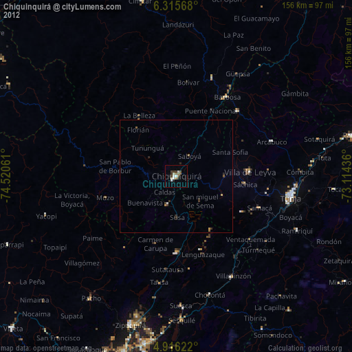
Chiquinquirá night lights from space
Night Light of Chiquinquirá (Boyacá) from space (Colombia) Src. Average luminocity for 10x10km area is 13.3595% and for 50x50km: 1.1087%.
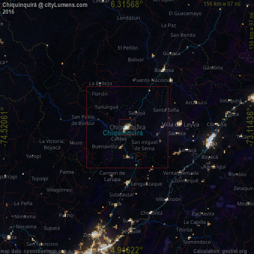
Analysis of Chiquinquirá night lights 2016
Square area 10x10 km:
 1.86%
1.86%90-99
1.45%80-89
1.03%70-79
2.27%60-69
1.86%50-59
3.93%40-49
0.83%30-39
1.65%20-29
1.03%10-19
1.86%0-9
82.23%Square area 50x50 km:
0.08%90-99
0.06%80-89
0.13%70-79
0.18%60-69
0.21%50-59
0.33%40-49
0.09%30-39
0.2%20-29
0.2%10-19
0.23%0-9
98.29%Clear (daylight) street map image can be seen on geolist.org.
Map coordinates:
6° 18' 56.4" North, 74° 31' 14.2" West
5° 36' 58.9" North, 73° 49' 2.9" West
4° 54' 58.4" North, 73° 6' 51.7" West
Some cities around Chiquinquirá sort by population:
• La Mesa
40.4 km =25.1 mi,  195°
195°
• Villa de San Diego de Ubaté
34.1 km =21.2 mi,  179°
179°
• Barbosa
41.6 km =25.8 mi,  32°
32°
• Vélez
46.9 km =29.1 mi,  19°
19°
• Moniquirá
39.6 km =24.6 mi,  43°
43°
• Muzo
33.4 km =20.8 mi,  254°
254°
• Puente Nacional
32.9 km =20.4 mi, 27°
• Villa de Leyva
32.5 km =20.2 mi,  86°
86°
3686513 (p: 45,294)
Sources (retrieved 2019-11-25):
» Earth at Night: Flat Maps 2012, 2016