Puente Nacional night lights from space
Night Light of Puente Nacional (Santander) from space (Colombia) Src. Average luminocity for 10x10km area is 0.4483% and for 50x50km: 0.7803%.
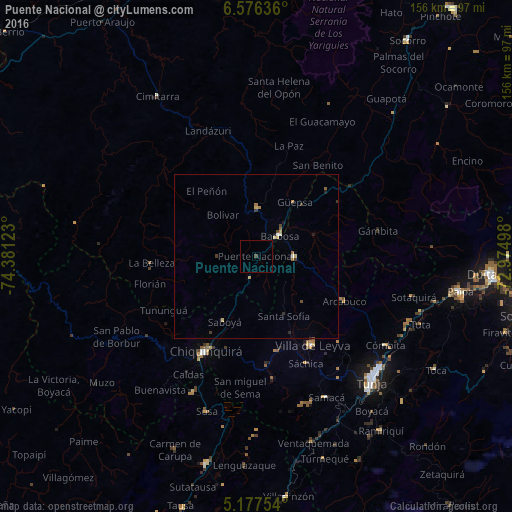
Analysis of Puente Nacional night lights 2016
Square area 10x10 km:
 0%
0%90-99
0%80-89
0%70-79
0%60-69
0%50-59
0%40-49
0%30-39
0.83%20-29
0%10-19
0%0-9
99.17%Square area 50x50 km:
0.03%90-99
0.08%80-89
0.13%70-79
0.11%60-69
0.17%50-59
0.07%40-49
0.12%30-39
0.23%20-29
0.11%10-19
0.1%0-9
98.85%Clear (daylight) street map image can be seen on geolist.org.
Map coordinates:
6° 34' 34.9" North, 74° 22' 52.4" West
5° 52' 38.6" North, 73° 40' 41.2" West
5° 10' 39.1" North, 72° 58' 29.9" West
Some cities around Puente Nacional sort by population:
• Tunja
51.2 km =31.8 mi,  137°
137°
• Chiquinquirá
32.9 km =20.4 mi,  207°
207°
• Barbosa
9.2 km =5.7 mi,  49°
49°
• Cimitarra
57.1 km =35.5 mi,  328°
328°
• Vélez
15.1 km =9.4 mi,  1°
1°
• Moniquirá
11.6 km =7.2 mi,  90°
90°
• Muzo
60.9 km =37.8 mi,  231°
231°
• Villa de Leyva
31.9 km =19.8 mi,  147°
147°
3671591 (p: 5,774)
Sources (retrieved 2019-11-25):
» Earth at Night: Flat Maps 2012, 2016